The Week Ahead: Pattern Change Continues 11/18

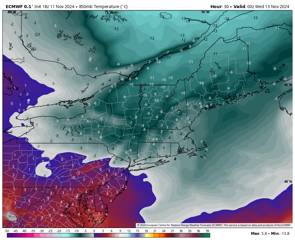
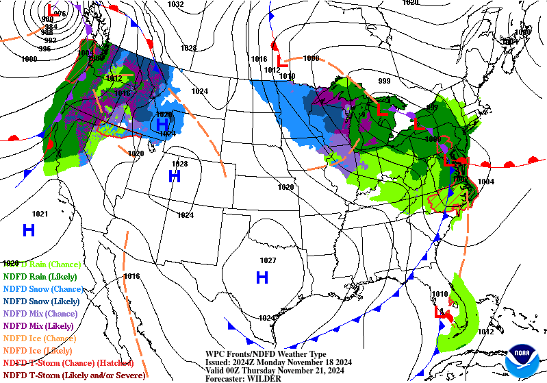
Our pattern change began last week, and we’re continuing the trend of change into this week with a cut-off low impacting us into the latter part of the week. While there’s a shallow cold air mass settling in tonight and Tuesday, it’s just that — shallow. We’ll see some temperature modification heading through Wednesday before …

The Week Ahead 11/11 – Sneaky Cold

After another briefly warm day, we are heading into a much anticipated pattern change. We have a strong cold front on the way Monday night which will bring a cold air mass (and quite a bit of wind) for Tuesday, Wednesday and even into Thursday. The core of the cold settles in by 7pm Tuesday …

The Cold…Unknowns

It’s the second week in a row of seeing 70+ degrees across many areas in the Northeast. However, right now most of our patterns are being influenced by the reactivated tropics, as we continue to see a neutral ENSO cycle take shape. Most tropical activity shunts cold spells to the north, or keeps them quite …

Looking Ahead…

A couple things to touch on as we come out of the coldest stretch we’ve had so far.. But first a quick look at the rest of the week. Moderation begins Tuesday though we’ll really feel it into Wednesday — especially in southern VT/NH and New York as a warm front works its way north. …

First Cold Blast Coming…

We’re back! Hard to believe the warm season flew by so quickly. The first decent cold punch of the season, with New England summits expected to drop below or near freezing, comes for the middle of next week. Initially it looked like the first punch would be stronger, but now the second punch, which arrives …

The Week Ahead 4/15

Not too much to chat about through the week ahead…the pattern is in transition and we’re actually on the quiet side of things. The total precipitation (on the right) shows less than a tenth of liquid precipitation through the end of the weekend from the Adirondacks north, and just slightly more in the Catskills. This …

Upcoming Rain…(and a little snow)

After two beautiful spring days, we’re back to a dreary pattern and some raw conditions outside. Temperatures will be cool through Thursday evening, before the southerlies really pick up and create some warmth, along with rain for Friday. Most areas are likely to see over an inch of rain throughout the next 72 hours. There …

Long Term 4/6

A little behind on the long term update as we’ve been dealing with power/internet outages since Thursday morning. Overall the long term is on the seasonable side. I thought we would shift back toward a cooler pattern after April break, however the teleconnections have shifted to staying more neutral rather than going into phases that …

The Week Ahead 4/1

Here we go again… We have a reading of 1.0 out of the Nino 3.4 region this week (which is where the ONI is derived from ), which means we are squarely in a moderate El NiƱo phase at the moment atmospherically (it takes a couple weeks for the global patterns to shift). Keep in …