The Week Ahead 2/21 – Bad Start, Decent End for NE, Icy South

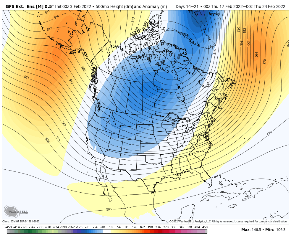
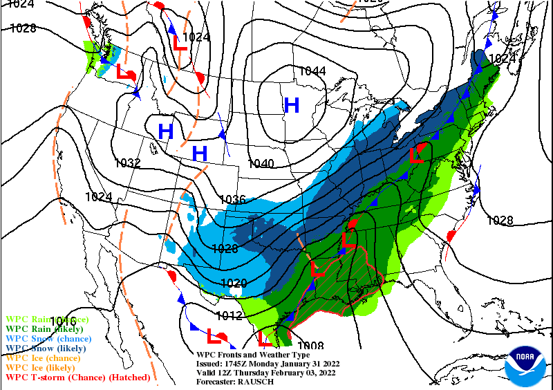
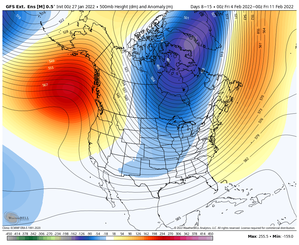
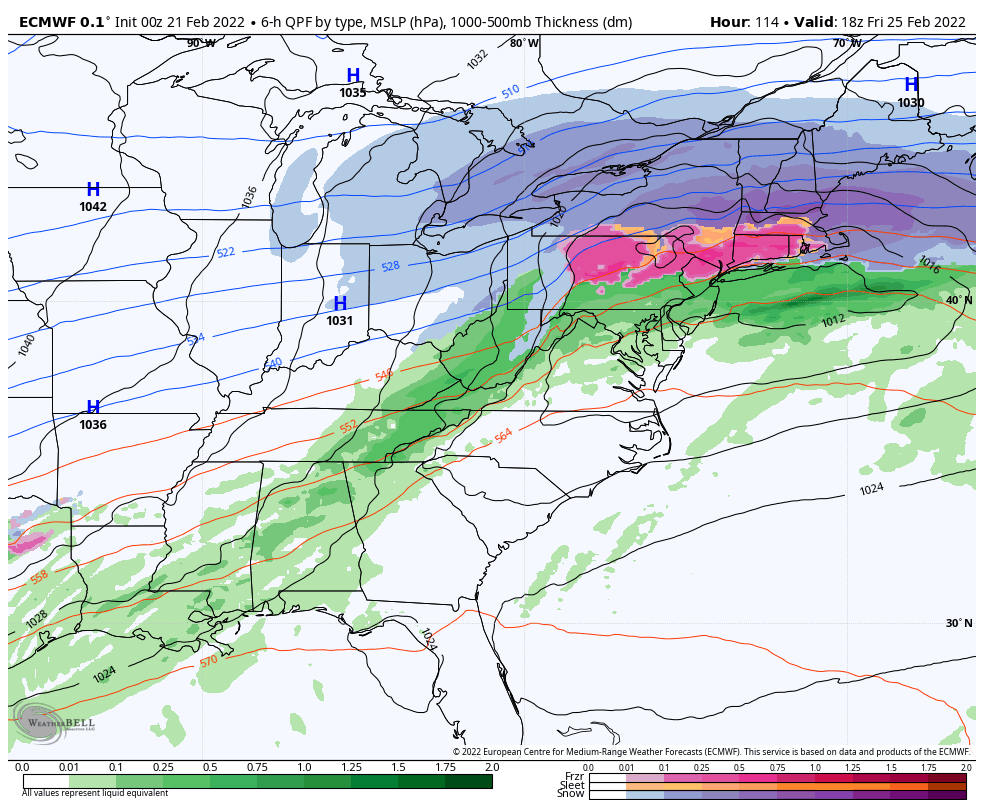
Another messy/warm start to the week for the Northeast; the Great Lakes will be in a better position for frozen precipitation, especially northern areas. The warmup we spoke about the long terms views on 2/11, has arrived. Though shorter than I expected, it’s coming in with another rain event for the Northeast on Tuesday (mixed …

Long Term Views 2/18

There’s good news and there’s bad news. We’ll start with the bad news, as it’s in the short term, and I want to touch on the short-term since it’ll be on our doorstep by the usual Monday Week Ahead blog. The system arriving on Tuesday does not currently look promising for any region, except in …

The Week Ahead 2/14

The week ahead can be split up into a couple of segments; Monday & Tuesday are cool, Wednesday-Thursday are warm & windy, Friday – Sunday are back to cool. That’s the basic summary of it all…but certainly keep reading! The arctic chill holds on through Tuesday morning before we start to see some moderation in …

Long Term Views 2/11

The gradual pattern change is showing its colors these last few days, with some warmer moments and freeze/thaw cycles. We’ll have a cool down early next week; it will be rather substantial cold, but likely our last bout of real cold for several weeks. The eastern ridge begins to develop late next week, and therefore …

The Week Ahead – Weak Coastal, Then Quiet

Monday started off rather cool and cloudy, as a weak coastal system moves up the coast. Steadier precipitation comes into New England later on in the evening and overnight. The models were fairly undecided about this but had a clearer vision on Sunday with some impact – inland areas of NH & ME may receive …

Long Term Views 2/4

Looking ahead to the second weekend of February and heading into February vacation weeks, we’re looking at an overall temperate pattern. We’ll likely see things on the cooler side for the 2/10-2/17 time frame, especially in the Great Lakes where our trough will begin to break down by the end of the period, eventually situating …

Storm Update 2/2

With the storm now in formation and moving through the Midwest, we can look at some verification of model data – which is going to be the next best thing of oodles of weather balloons going up. Overall, I’m kind of leaning Euro at the moment – I think its methodology is verifying best right …

The Week Ahead – Cold Start, Stormy End

It’s a cool and quiet start to the week, a nice calm moment before another storm heads our way. And by golly, we’ll get above freezing in some areas this week – brief for the Great Lakes & New England, and a couple days possible in the Mid-Atlantic – though we’ll be clouded up and …

Storm Update 1/29

We have the low deepening due south of Cape Cod and some massive snow bands forming for the coast. All in all, this under performed in PA/NY/NJ per reports from family – about 5″ in Philly, just shy of 10″ in Medford, NJ, and 12.5″ in Ocean City, NJ. What this is telling me is …

Long Term Views 1/28

Taking a break from the storm end of things, let’s talk about the long term. No doubt you’ve seen the extended forecast bringing in some not-as-frozen precipitation at the end of next week, which is ill-timed with snow coming to some this weekend. However, it’s kind of necessary to have this happen – it avoids …