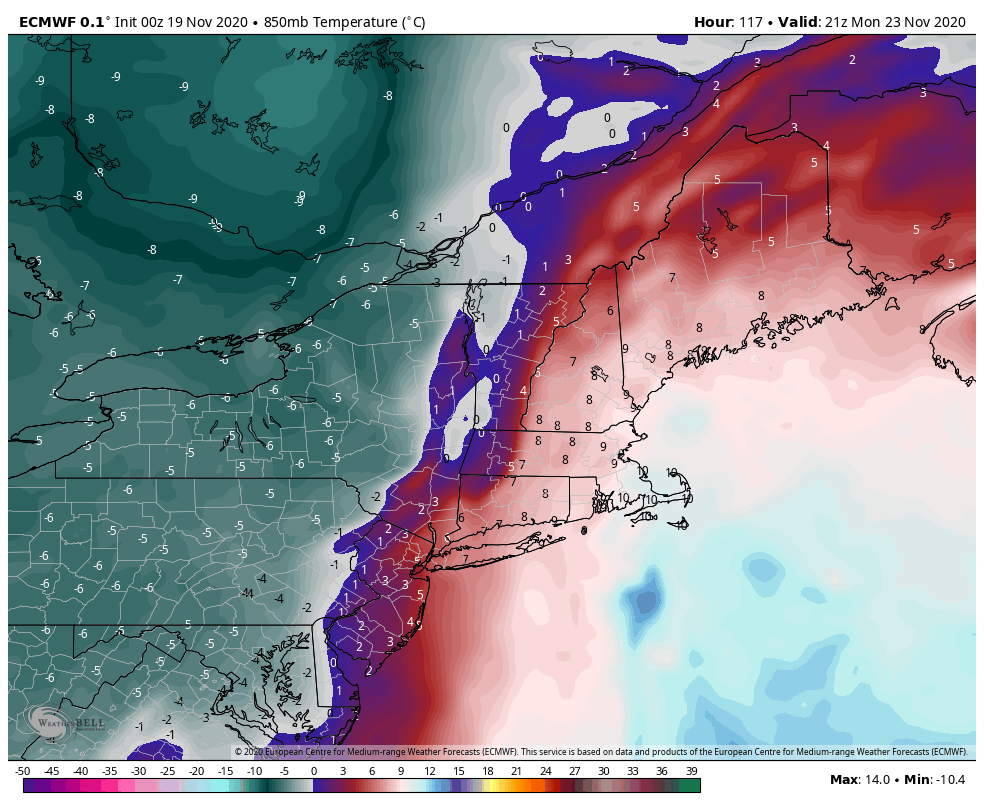
The cold retreats today from west to east. As expected, the overnight lows rose slow and steady, and currently we have some colder air trapped in the low levels. Expect to see temperatures shoot up quickly at different levels today and tonight, and also at different times. Currently, the warm air seems to be located in the 2,500-3,300 foot range. Once the cold “cap” is broken, temperatures will move fast.
While we warm today and stay there for Friday, the front sags back south again on Saturday, opening up windows for northern New England into the weekend. This will retreat again heading into Sunday with the incoming system. Higher elevations may hang onto snow but eventually will change to rain as the warm air surges ahead of the front. It will be a quick drop in temperatures after the front moves through from west to east on Monday afternoon. The cold is expected to retreat again late Tuesday night into Wednesday.