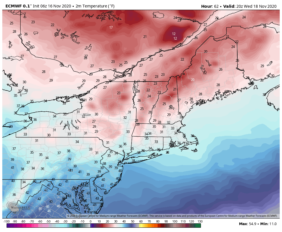
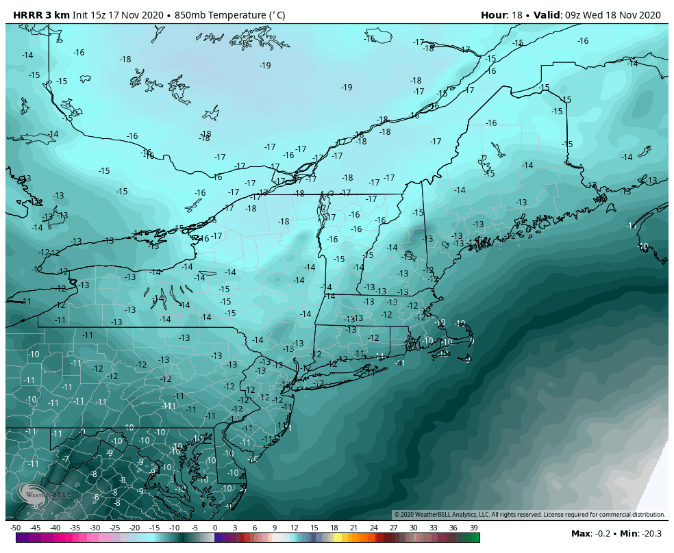
Temperatures continue on their slow downward trend today with the cold air mass settling in. It will be fully entrenched in the Northeast early Wednesday morning, leading to Wednesday being our coldest day of the week. There is a swift departure of the cold air on Thursday with a warm front crossing through and stalling in southern Quebec. The boundary may sag south over the weekend, allowing temperatures to cool down slightly. This may put northern portions of New England into some marginal snowmaking zones. We’ll warm up ahead of the attending cold front later Sunday, but the front doesn’t come through until some point on Monday. The cold behind this particular front is not very deep, and will move out quickly heading into the holiday. Long term projections take us to Thanksgiving weekend before we see some deeper cold return to eastern half of the country.