Our incoming system is moving through the Great Lakes this morning, bringing rain and eventually some snow showers. The storm will approach from the west, impacting New York/Vermont in the early to mid afternoon, and New Hampshire/Maine into the mid/late afternoon.
Most will see rain out of this, though summits may pick up some very wet snow accumulation, especially for the resorts that are farther north and east.
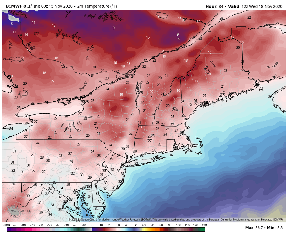

The temperature swing on Monday is gradual, and settles into the summit levels first for about 24 hours before moving down to the mid and bases levels. That will occur Tuesday evening, with the deepest part of this cold air intrusion coming into New England for Wednesday.
We’ll see this cold air retreat Wednesday evening into Thursday morning (from west to east), but it looks to be brief – only a couple days until we should see another opening for cold air.