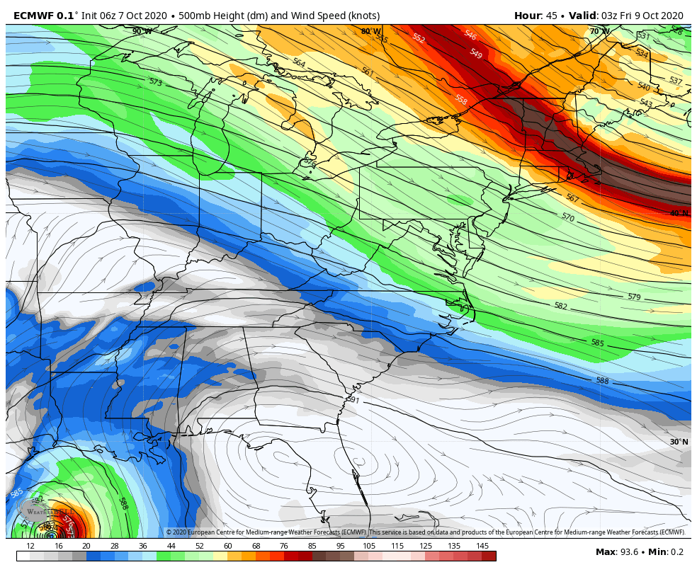
The depth of the cold air expected to come into the Great Lakes and Northeast has modified a bit, with a less expansive batch of arctic to come in, and a bit of a one – two punch of it as well.
Above 2,500 feet, we still see the opportunity for >24 hours of snowmaking potential Thursday into Friday. However, the window has closed significantly below 2,500 feet, to maybe a couple hours in the early morning hours on Friday. It will be quite marginal.
The second batch of cold comes with a secondary cold front Saturday. We’ll cool down into Sunday morning, though the depth of cold air is even lower with this batch, and it would be an hour or so with temperatures just barely hitting the critical range.
The culprit for the air mass modification? Hurricane Delta. The major hurricane is pushing its muscles a little farther north than previously projected, and it’s forcing the trough to not only dig less into the northeast, but also lift out faster.