The big story is of course the incoming storm system bringing possibly the largest widespread snow of the season. Mixing will occur in portions of central/southern NY, VT, NH and ME which may impact totals, but we’ll still have a significant amount of snow expected before any changeover. Would also not be surprised to hear of some thunder snow/mix.
I’ve hedged my totals on the lower end in areas where I’m expecting prolonged mixing, so while you may see higher totals elsewhere, it’s typical to have mixing occur before models are predicting it, and thus lower snow totals — just so you know my methodology on the totals.
In areas not seeing mixing, we don’t have the strongest banding/total liquid precipitation. However, snow to liquid ratios will be much more favorable.
There could be icing concerns where we have mixing, which could affect operations later Saturday and into Sunday morning.
Behind this system, wind briefly picks up but overall we’re somewhat calm post-storm.
Onto the long term…
Next week is warmer but some damming keeps most of the Northeast cool and cloudy — the exception to this will be the Catskills and south.
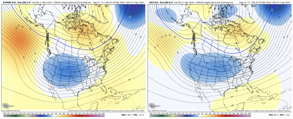
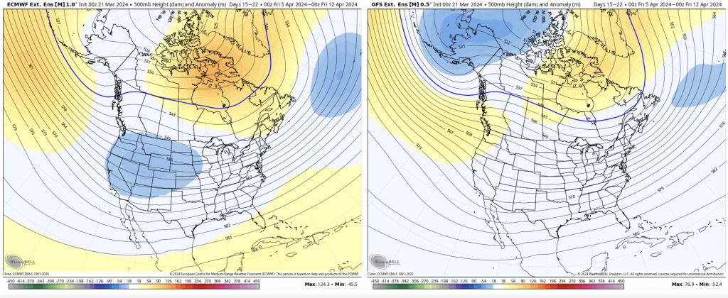
For Days 7-14, we’re in a transition pattern from an eastern trough that retrogrades back to the central/western part of the country.
This should provide an overall seasonable pattern for us, and possibly stormy as the PNA starts to nudge positive. Overall it’s not an overwhelmingly warm or cold pattern.
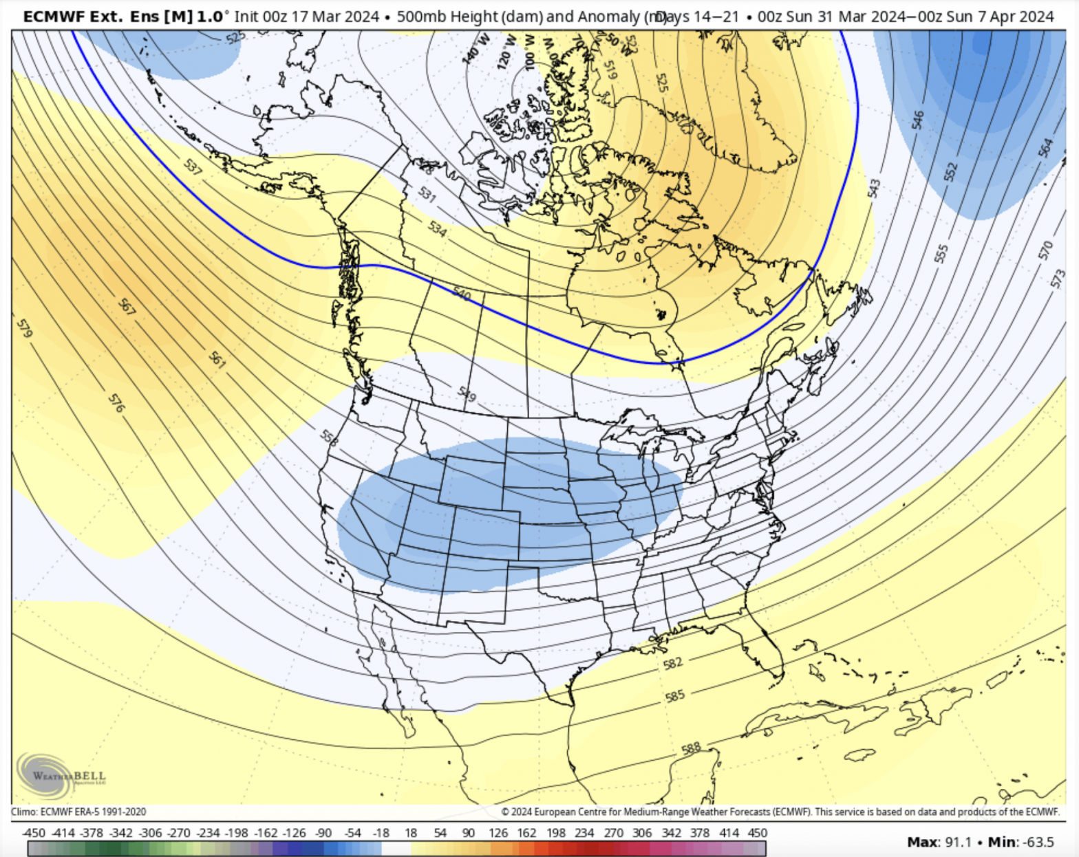
Days 14-21 look fairly benign at the moment, no overarching pattern to speak of. At this point we should be nearing an overall weak El Niño status, which can still be stormy for us. With some positive anomalies near Greenland, we could still be prime for late season snows — but this can shift around as patterns become a bit more apparent in the coming week.