The week ahead has a little bit of everything involved except for major cold. But there’s warmth, cooling, rain and snow possible through Sunday.
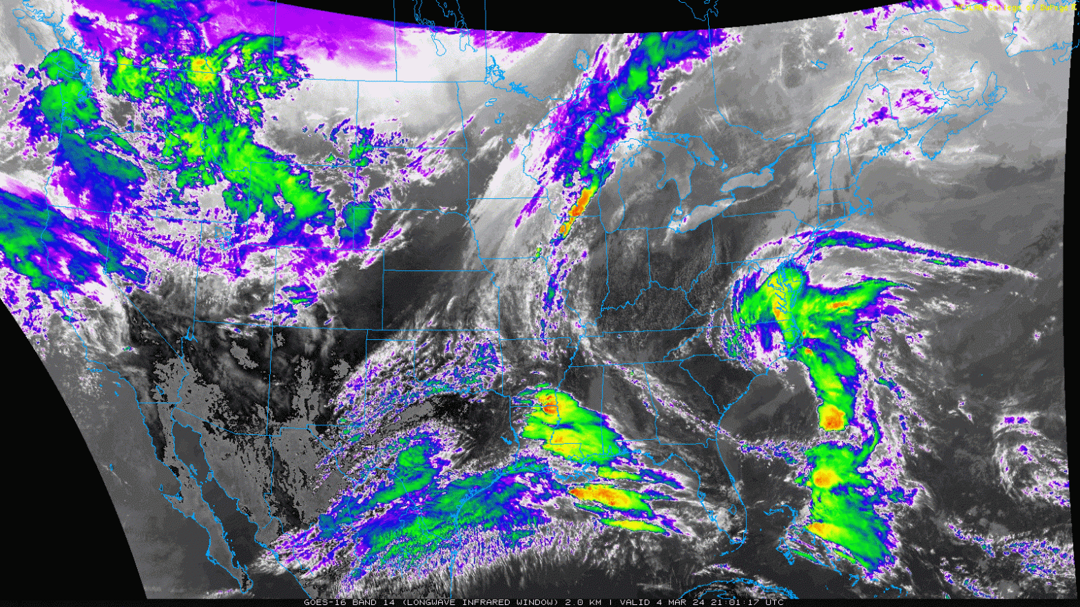
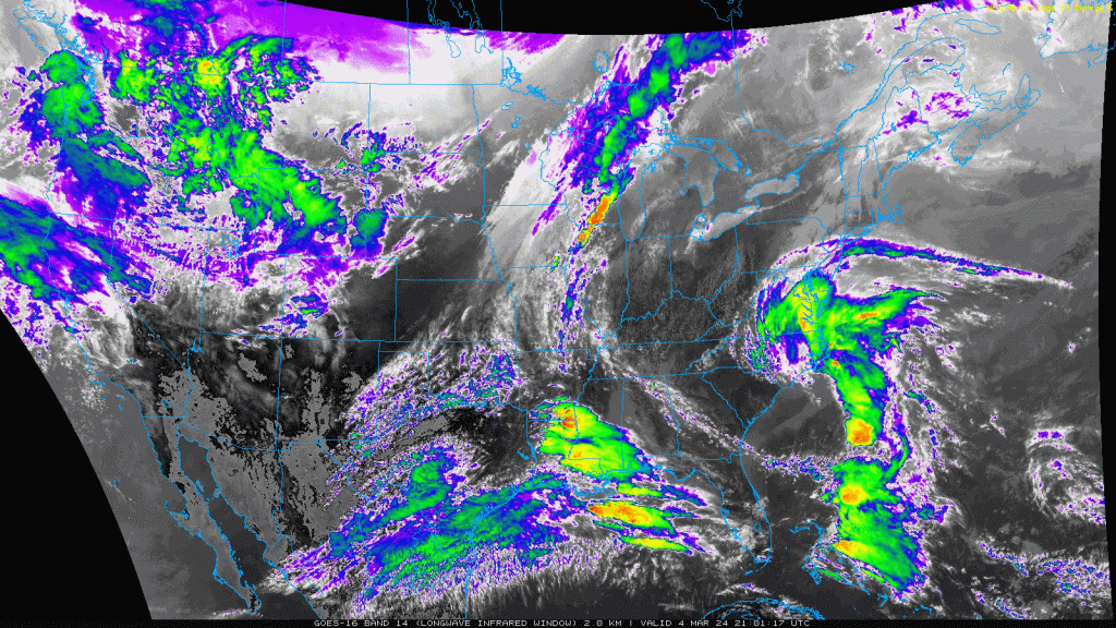
Currently a relatively weak coastal system is generating off the eastern seaboard.
This skirts along the east coast and eventually joins in with a front slicing through from the west later Wednesday. Another area of low pressure rides along this boundary, creating a mostly rain event for Thursday.
Initially it looked like the front may arrive sooner with the delivery of some cold air, but currently any wintry precipitation looks minimal. At this point the core of the heaviest rain develops closer to the coast, but we’ll still see some heavier rain banding that impacts areas of the Catskills, Berkshires, southern Greens/Whites and possibly into interior Maine as well.
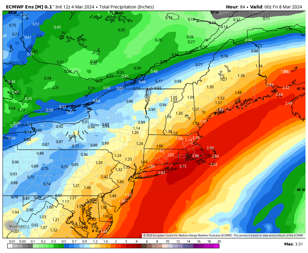
Total rainfall with this one is certainly more than we’d like. The image is of the Euro ensemble for liquid precipitation through Thursday evening.
Behind this, temperatures drop but they’re not “cold”. We’re cooler as we watch the next system develop into the weekend.
There’s been a ton of back and forth with this one — the track, speed and core of the cold location. It currently looks significantly colder than the Thursday system, but the ensemble low tracks are quite a bit farther east than the deterministic runs. There’s been a distinct trend this season in ill-placed low centers up until 24-48 hours out from the storm, therefore I’m not getting overly optimistic at this moment. Teleconnections are on our side in terms of cold and blocking with negative AO/NAO present, however the PNA doesn’t swing into positive territory until several days after the storm system…hence the continued caution.
Looking on the opportunistic side for a moment, if the low follows its current route across western Cape Cod, it could deliver 4-8″ in the Adirondacks/Green/Whites and potentially higher into Maine. However with all inside runners…quality of snow is usually wetter with less exciting snow to liquid ratios. Will continue to stay tuned on this one….