The rollercoaster ride of temperatures continues through the week and upcoming weekend.
We have a slight increase in temperatures Tuesday before moderation fully takes over for Wednesday and Thursday ahead of the incoming storm system.
There’s not much precipitation to speak of beyond the low pressure system Thursday/Friday along the east coast – not much in the Great Lakes outside of some light lake effect snow showers.
The storm system for the end of the week is still rather disorganized at the moment. The Euro runs a little warmer with the track, but the GFS/Canadian stay a farther offshore and therefore are cooler. Typically when there’s a discrepancy between the Euro/GFS and the Canadian picks a side, I give it a little more credibility.
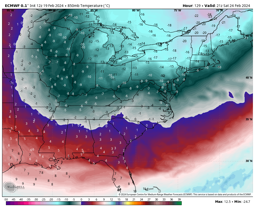
While we may still see some mixed precipitation with this event, I think it’ll run on the cooler side, but it’s ultimately determined by an incoming cold front. This will drop temperatures into the weekend, taking us into another dip. It’s quite expansive and deep across the east (image of 850mb temps for Saturday afternoon), though we head back up the temperature coaster for the last few days of the month.