This is our transition week out of the cold punch pattern. We’ve had some consistent bouts of cold over the last couple of weeks and we’re going to ease that up a bit into the end of the week. However, the activity in the pattern is not going to stop, which means we’re still looking at events that have non-frozen components.
Like last night, some of these events are fruitful in certain locations, as the Green Mountains won out on the last storm system with over a foot of snow falling in the northern part of the state. Therefore even though we’re not in the true heart of a “cold” pattern, it doesn’t mean all is lost — it’s simply not consistent. I don’t think we’ll hit consistency until the middle of December.
All that said, let’s get to this week.
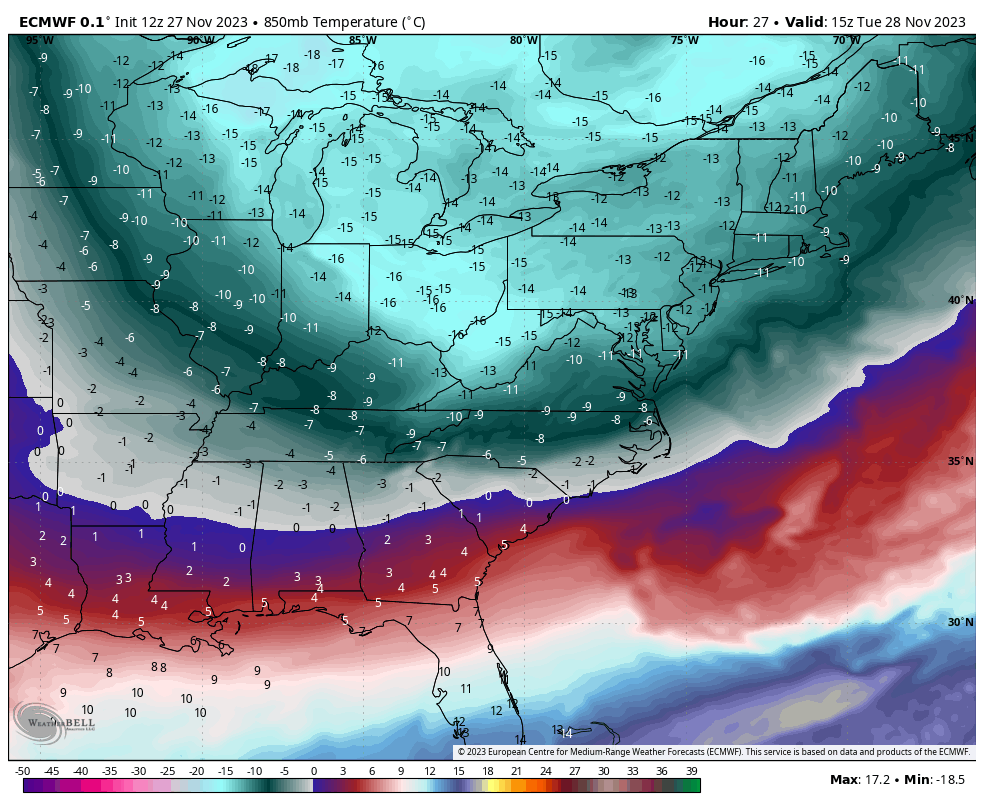
We’ll see lingering snow showers through Tuesday as an arctic front comes through with snow squalls as well. It’s currently moving through the Great Lakes with some persistent lake effect snows. The cold hits rock bottom in the Northeast Tuesday night (image shows the cold air mass shifting east Tuesday morning).
Moderation in temperature begins Wednesday and peaks Thursday/Friday in the east.
There’s a weak system coming through Friday evening/Saturday, a strung out front across the Great Lakes that moves east. We’ll likely see a mix of light snow and rain coming in with some shallow cold coming in behind it.
Then there’s another Sunday night/Monday system brewing for next week, which a good sign that maybe we’re getting some momentum and a cyclical nature to the pattern. Too early to pin down the exact details, but if we’re in a cyclical pattern, it’s probably going to look a lot like the system last night.