We are heading into some interesting uncharted territory has the ONI Index nearly reaches a “very strong” El Nino status while the SOI and MEI say we’re barely in a weak El Nino state. For reference, Winter 2015-2016 was the last “super Nino” (ONI >2.0) and we know how that turned out.
There really aren’t any other indications outside the ONI in the pattern that we are heading into a 15-16 winter. Therefore I’m going to hedge a bit more in a weak to moderate El Nino winter, which has been the thinking all along. Many analogs still focus on 2009-2010 as a hardy contender for similarities, and that was a great winter for Mid-Atlantic snows beginning in mid-December.
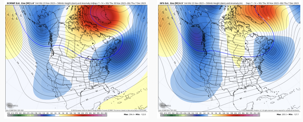
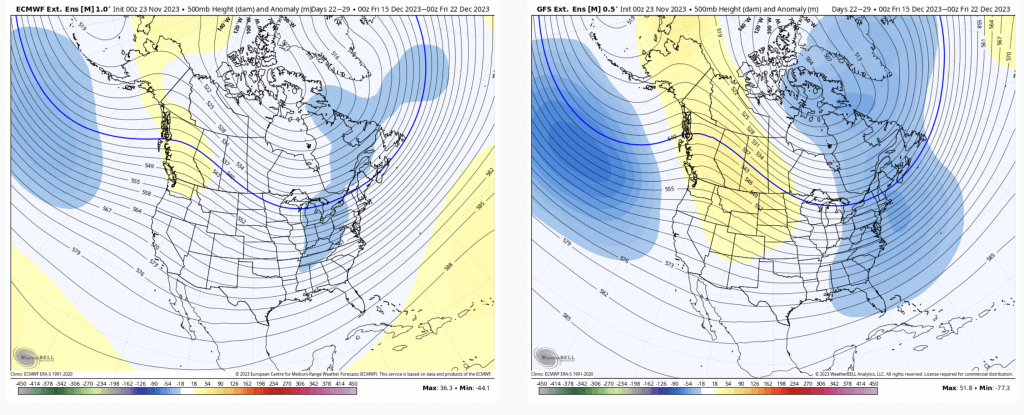
The long-term looked a bit more ominous last week with a warmup than it does today (further evidence that a super Nino is not showing up in the atmospheric pattern). There’s also decent agreement between the two major models.
The center of the trough shifts off the east coast in Days 7-14 with a mini ridge developing in the middle of the country. This will create a reprieve of our cold punches, though is a far cry from what this looked like last week (below).
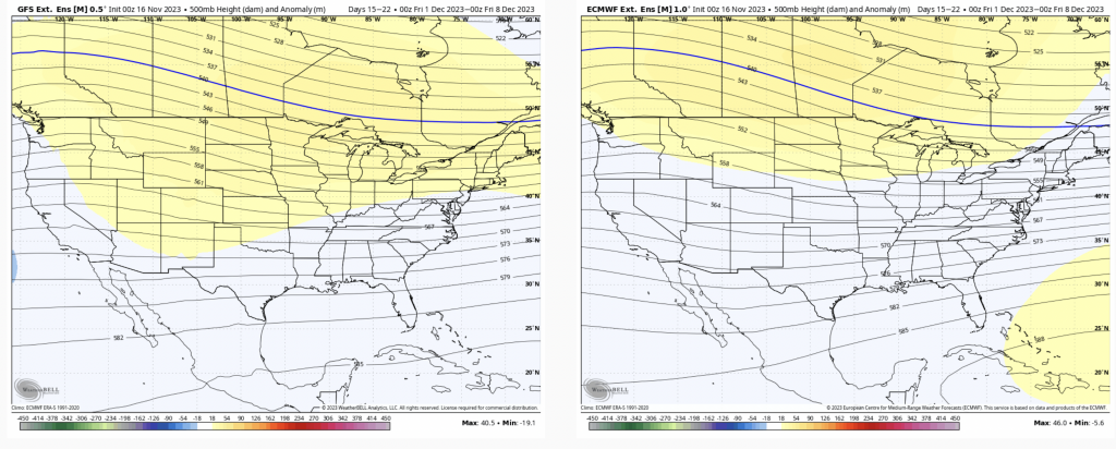
However, as we get into Days 14-21, keeping with the trend of the eastern trough, it actually looks to elongate back to the west.
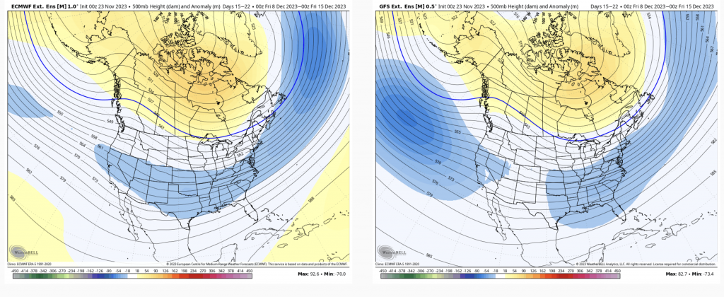
This is a very promising long range for coastal storms. The negative anomalies are a bit closer together, so it bares watching to see how they actually shake out. Ideally the western anomaly would stay to the SE of Hawaii…and we’d really be in (snow) business then.
For what it’s worth (as I’ve been doing with Days 21+), here’s a look at Day 21-28.
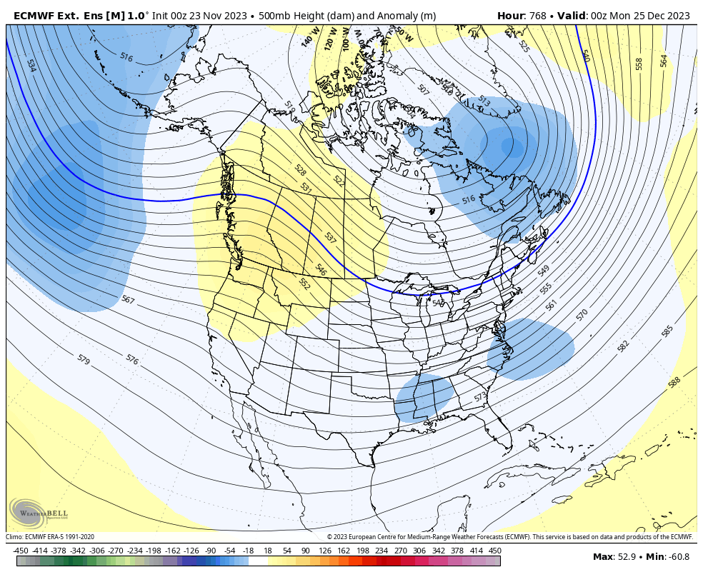
This is not a bad setup for Christmas week in the eastern half of the country….