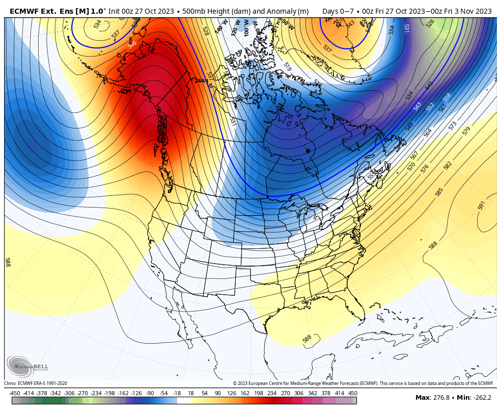
While our first blast of cold is coming in next week, there is some wobble to the depth of the cold. Until the tropics die down, we’re not going to see long term, deep cold.
The good news is that week the first full week of November is starting to track a touch colder than it initially looked….and the tropics seem to be cooling down quickly.
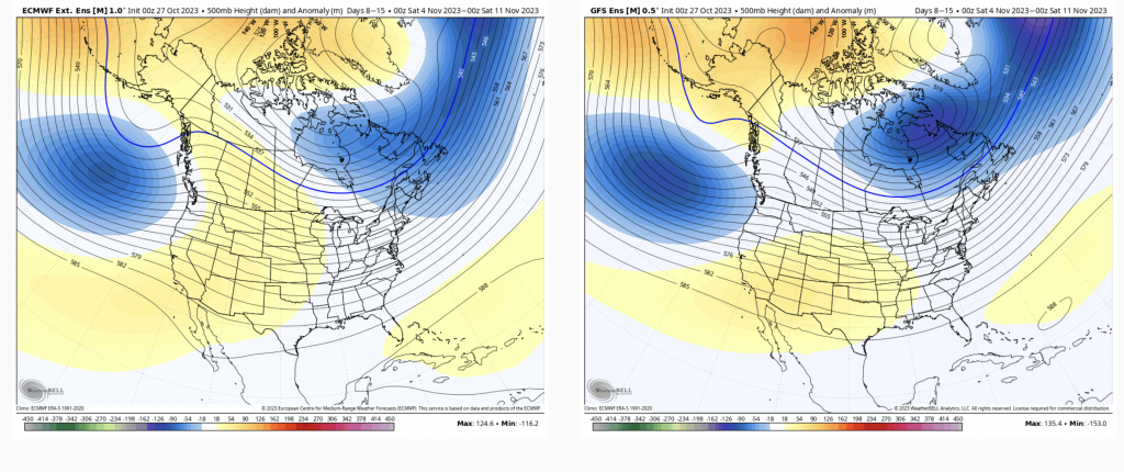
While the trough isn’t setup deeply over the east, it’s still hanging over the east which is good news for some additional cold air intrusions as we head farther into November. Overall, temperatures are expected to stay slightly below average during this time frame. In addition, the PNA (Pacific North American Oscillation) starts to hedge positive, though weak, which signifies a more active pattern for the east. Models have been starting to build coastal systems in the long range, so I think we could have a busy mid-month. Whether they are warm or cold remains to be seen.
Beyond 11/10, the GFS keeps us cooler than average while the Euro begins to warm things up slightly. However, the Euro continues to have a warm bias in the long-term, so I would not be surprised if it lightens up on the warming – especially since the AO (Arctic Oscillation) mean stays negative or neutral.