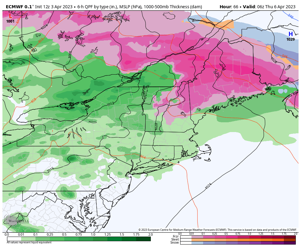
Not much going on this week except for one system Wednesday into Thursday. This will be rain for the majority of the storm for most areas, with the exception of portions of central VT/NH & ME. We could see some minor ice accretion before changing to rain.
Beyond this, temperatures stay seasonably cool to start April. Tuesday’s temperatures will be colder than Monday, and Wednesday will feel like a raw, late February day as cold air damming takes over.
Beyond the midweek system, temperatures fall into more early to mid March levels for Friday and Saturday. We’ll start to see some moderation by Sunday, and back to the 50’s in most areas by early next week.