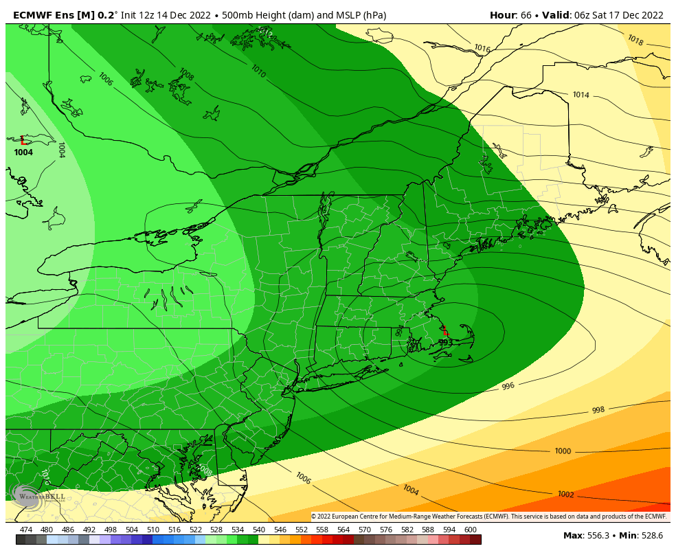
Now that we’re getting into the short-term with our storm system, we’re seeing some finer details come in. I’ll save the video for tomorrow as we see the storm developing in real time.
So here’s what we’re looking at broken down by region…
Great Lakes: The storm approaches overnight with rain for the LP and snow for the UP of Michigan & Wisconsin. As the secondary low gears up, the rain will change over to snow Thursday. Lake Effect snow kicks up Friday and stays through later Tuesday which could accumulate to several inches over the few days.
Mid-Atlantic (PA): We’re looking at mostly ice with some light snow on the front side and back side beginning early Thursday morning. There could be significant icing closer to the PA/MD border that will lead to power outages and some trees down. Upwards of .20-.30″ of aerial ice accretion possible. As we move farther north, we’ll see slightly more snow, perhaps 2-4″ but also seeing .10-.20″ of aerial ice accretion as well.
Mid-Atlantic (S. NY): Snow approaches Thursday afternoon, with the heaviest snow Friday during the day. Snow departs Saturday with colder air streaming back in. Widespread 8-12″.
New England & N. NY: Light flurries (or I call it “snizzle”, drizzly snow) begins to move in late Thursday night through Friday morning, with organized snow moving into C./N. NY, S. VT, S. NH before sunrise. It continues to move through N. VT, N. NH and Maine through Friday morning. Widespread 8-12″, with the exception of N. NY & N. VT depending how far the bands of the storm system go. It slows down through Saturday and likely will not exit Maine until some time Sunday. Wrap around snow showers pick up in VT/N. NY Sunday and continue for several days with additional accumulation likely.