This week remains a bit tumultuous as the pattern shifts, but we’ve at least seen a little more consistency. As expected, we’ve seen some changes in the models as they weren’t making much sense when I recorded the long term video on Friday. However, there are still major inconsistencies in the GFS, therefore I’ve been hedging forecasts toward the Euro and Canadian models. This is a bit concerning for the viability & credibility of the GFS model for the winter ahead. While it had a good handle of November cold, it’s struggling terribly right now. What the deterministic shows and what the ensembles show are sometimes 180 degrees apart, which doesn’t speak to much integrity in the model.
Unfortunately, we are still looking at rain coming through Tuesday and Wednesday, however cold should come back slowly beginning on Thursday. General rain amounts will be .50-1.00″. Some higher elevation areas may see some brief snowfall up top, and there could be small pockets of cold air last through morning drizzle…possibly leading to some isolated spots of light glazing Tuesday before the the temperatures bounce back up.
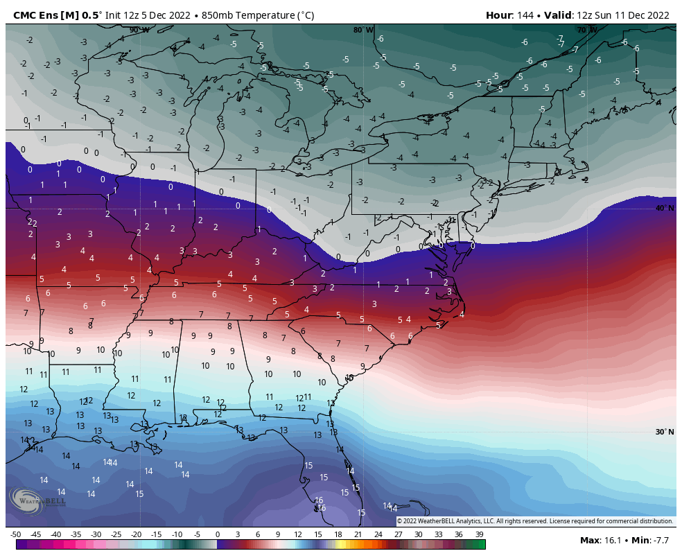
The cold comes in Thursday but becomes shallow on Friday. We’ll see another resurgence of some cold for Saturday and Sunday; not terribly deep but should be enough to allow for some overnight windows in the Great Lakes and Northeast through the weekend. We’ll still have to wait a little longer for second to settle into the Mid-Atlantic.
Model discrepancies remain into next week. There’s consistency on a system coming in on Tuesday, but not much on the progression and p-types associated. It should have more of a snow component, but unlikely to be all snow.