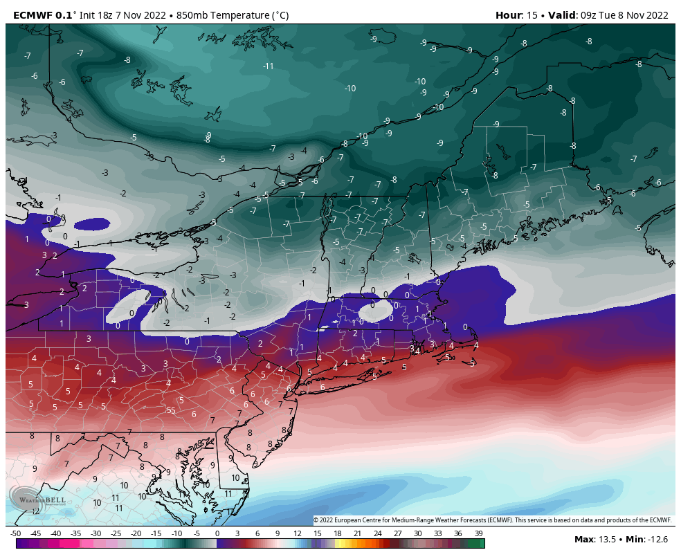
The cold slowly begins to move in this evening after getting hung up to our west earlier this afternoon. Our coldest point in the Northeast will be just around sunrise on Tuesday morning. Wind remains high, especially at higher elevations.
The depth remains relatively shallow, with a sharp 0C 850mb line right along the MA & NH/VT lines. Somewhat deep cold does get into the NEK of VT, northern NH and NW Maine where we could see -9 850mb readings.
This lifts out Tuesday evening into Wednesday morning, where we should see summit elevations start cool but gradually rise. Base levels, especially those at lower elevations, should see significant inversions Wednesday morning.
By Thursday we are back to seasonably mild temperatures while we watch the trajectory of Subtropical Storm Nicole. Being a subtropical storm means there are only some tropical characteristics present, and this signifies the change in the tropical season that we’ve been waiting for.

While pushing out this cold air mass, there’s a deeper one behind it that will take over the pattern come Sunday (though a little delayed due to the tropical/cold air mass battle that has to ensue). That should be the end to our tropical season.
Cold breaks into the Great Lakes Saturday morning and begins to move into the Northeast late Saturday night and Sunday morning. However it will take through Sunday evening to truly settle into all levels.