While the first push of true “cold” arrives this weekend, it’s tempered a bit by a still active tropical Atlantic. We’re not seeing things quite as cold as projected earlier in the week. In addition, a secondary batch of cold that looked like it would arrive around 10/14, looks to be closer to 10/18, give or take a day. If the tropics stay quiet, that may be our first substantial cold blast of the season.
However, signs do point to a moderation of temperatures in the last week of the month. Long term outlooks are a little more volatile at this point in the year because of the tropics, and the already poor depiction that models have of tropical systems in the first place.
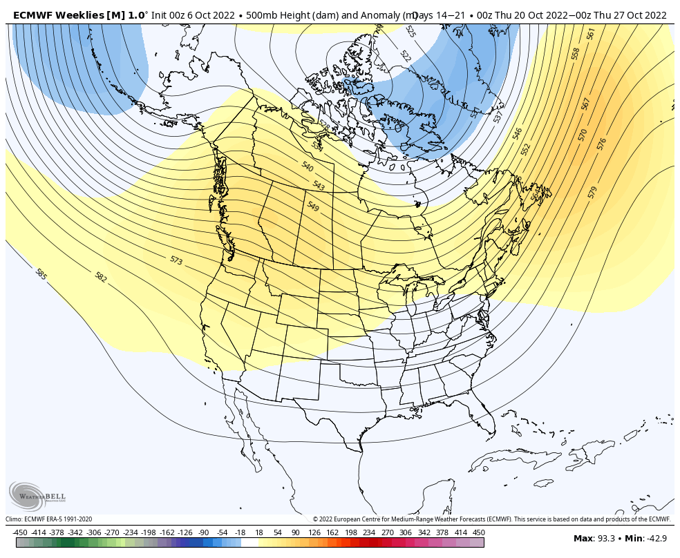
Both the Euro and GFS see the cold intrusion into the third week of October, but how deep it is, and how quickly it retreats, will be the first test to see how new upgrades are handling cooler weather patterns.
(Side note: typically computer models are given upgrades on a yearly basis (if not more often), that alter variables, algorithms and equations. Therefore at the start of each winter, we’re essentially wiping the slate clean of biases from the previous season.)