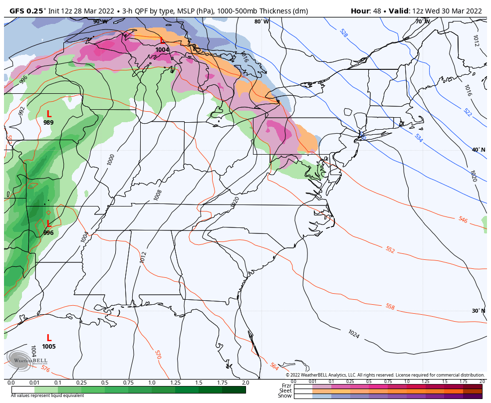
We have a very similar pattern to last week in terms of precipitation and overall pattern structure.The core of the cold comes out of the Great Lakes Monday and settles into the Northeast for Tuesday. We’ll begin some moderation on Wednesday, with an large area of overrunning precipitation associated with the warm front moving through on a NW/SE diagonal from MI to PA. This continues to move northeast through the day Wednesday and eventually moved beyond New England by Thursday morning.
We’ll see the entire region warm up, and all precipitation eventually changing to showers. Though shower activity remains light, another low pressure rides up the boundary (similar to last week) and brings more significant rain to the area. At this point, it does not look as heavy as last week’s rainfall, but it will be more significant than the shower activity that falls on Thursday.
We are back to scattered rain/snow showers for Friday, and calm through the rest of the weekend. The Wednesday “inside runner” system looks to stay in the pattern for another week or two.