The first 36-48 hours of the week are rather quiet – breezy but no major precipitation to contend with. Temperatures are on the more mild side, but not warm.
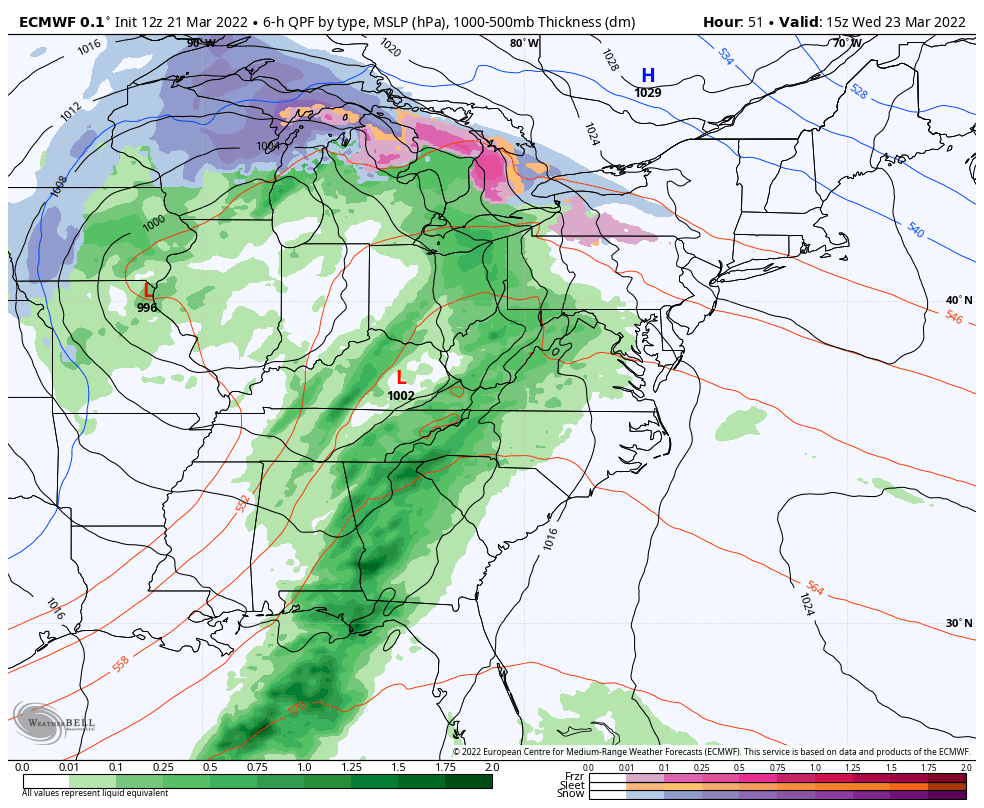
Clouds gradually increase from west to east Tuesday night through Wednesday with precipitation moving into the Great Lakes in the wee hours of the morning, and the Northeast by Wednesday mid-day. It will be a clash of precipitation types in the Great Lakes for several hours as the low pressure occludes over IL.
Cold air damming takes over into New England, which is going to bring some snow and mixed precipitation for portions of central and northern NY, MA, VT, NH and ME. Freezing rain is a major concern for NY, VT, MA and portions of NH. Other parts of NH and ME and will be more of a sleet/snow mix.
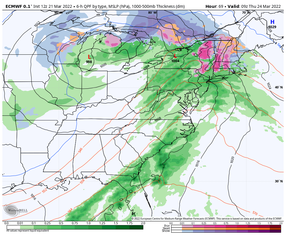
By Thursday evening, we have a secondary low develops off the NJ coastline. This keeps precipitation in the New England area with some snow at the higher elevations. The low moves across the Gulf of Maine Friday morning, bringing colder air in and changing rain back to some snow briefly for all locations.
The precipitation finally moves out later Friday. Cold air pours in over the weekend and it will be seasonably cold for the final few days of March.