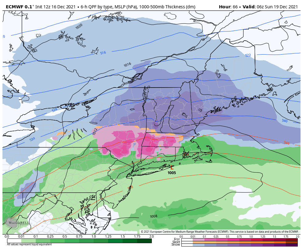
We have our first major snow of the season for the east as a low pressure rides along the stalled front that moves through tonight.
While we’re still waiting for our first major snow, this will have to do to get us through Christmas week (although there are some other storms to come before Christmas).
Widespread snowfall amounts of 6-9″ with 10-12″ at summits are possible, with better snow to liquid ratios expected up top – beginning late Saturday afternoon and departing before sunrise on Sunday.