Excited to hear the confidence in moving forward with the World Cup next week. The forecast isn’t amazingly cooperative, but certainly provides opportunity.
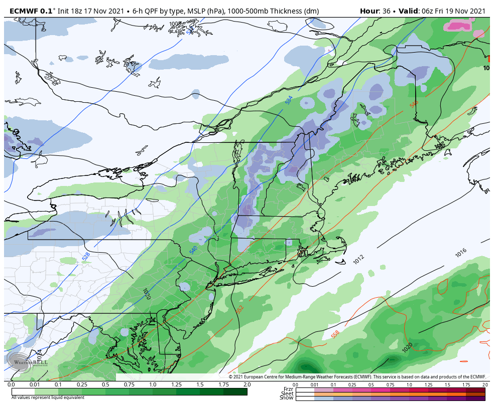
Cold stayed around a little longer than expected with cold air damming setting up. It was expected but not as deep as it was. Warmer air holds strong until Thursday after as the front approaches. Rain amounts will be from .20-.30″ with the frontal passage with a change to snow 1-2″ possible as the front passes.
Wind picks up out of the NW behind the front, not only dropping temperatures but also prompting upslope snow showers to develop. A couple of inches of natural snow is possible along with a long window of snowmaking at lower levels. Latest guidance shows that cold may hold longer through Saturday. This may provide over 24 hours of snowmaking potential at the base.
The Monday storm system still has little consistency. I do think we’ll see several hours of showers/rain, but with two low pressures that do not look to phase (combine) may space out precipitation and also provide a well-placed dry slot in New England. The movement of the storm looks to be faster as well. These details will continue to become clearer as we get closer.