As World Cup closes in, I wanted to provide some extra blogs on the incoming cold air and natural snow. Based off some VT snow stakes, there’s about 3″ reported at 4,000 feet and 1″ around 3,000 feet as of 6:00pm this evening. Snow should depart by 10pm, and temperatures may go down another two degrees, but not much more. Marginal snowmaking temperatures for base levels continue through the next few days, but mid and summit levels should keep wet-bulbs under 28F through Wednesday morning.
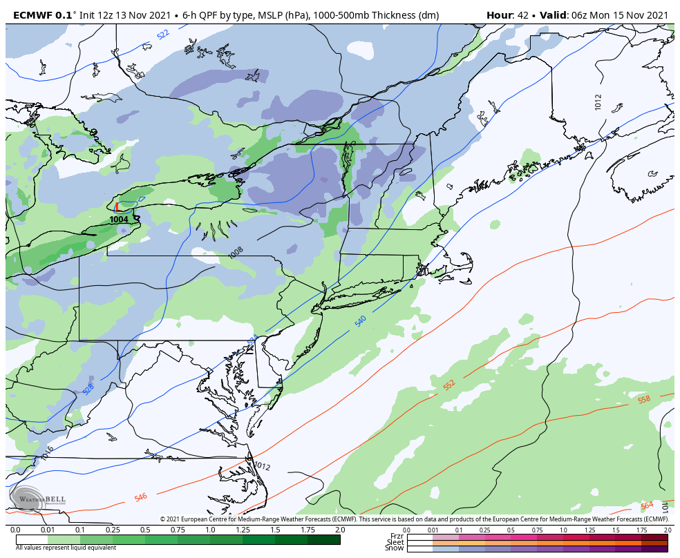
Another round of natural snow arrives Sunday night, but will be a bit lackluster compared to the snow tonight. Behind this low, NW winds pick up and we may see snow showers bring another couple inches through Tuesday morning.
We’ll lose snowmaking temperatures Wednesday morning through late Thursday evening before another cold front comes through with some showers – temperatures will be warmest Thursday before the frontal passage with highs in the mid 40’s. The next snowmaking window arrives late Thursday night until Saturday morning.