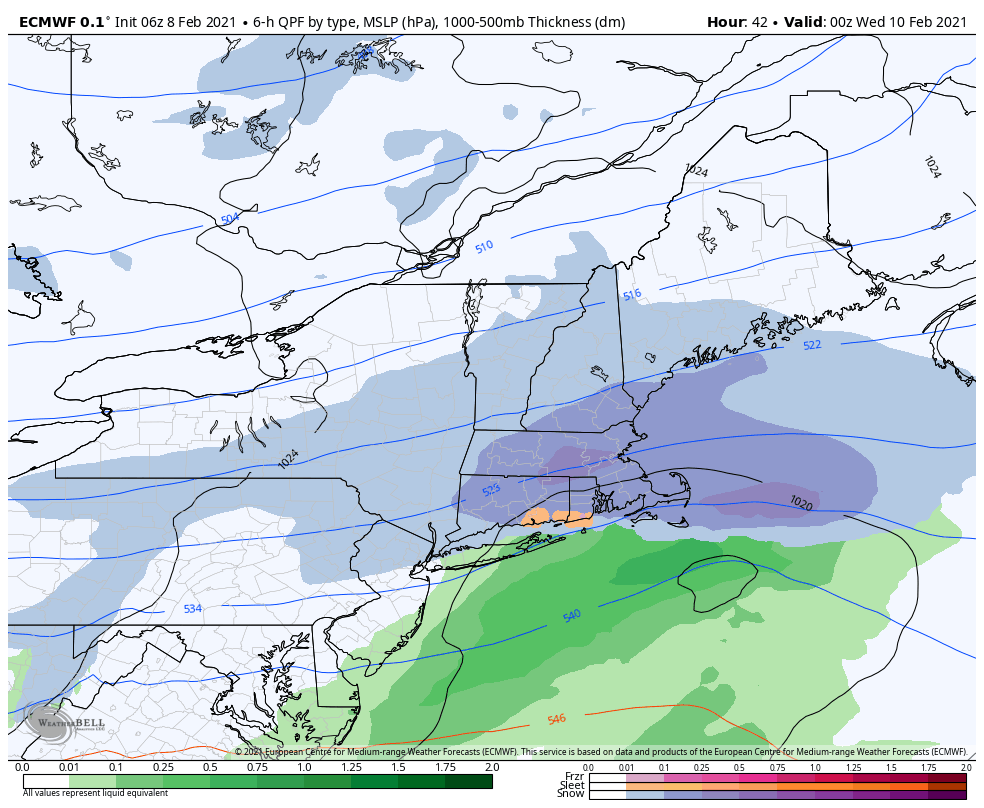
It looked more exciting previously, and while there will still be areas of energy coming through, they are being shunted to the south due to the strong blocking to our north and the arctic intrusions. The initial possibility of several light to moderate systems may just be light, at best, until we can get the NAO to be a little less strong. These systems will certainly be more fruitful for the Mid-Atlantic and even portions of southern New England. We’ll have one Tuesday, Thursday through Friday night, and Sunday – at least as of now.
There’s still quite a lot of blocking going on from the strong negative NAO. It’s sitting at about -4 right now, which means it’s hard for anything to really get past it. It’s not until around Valentine’s Day that we see the range of possible NAO outcomes pick up to -2 or higher, so that’s about the point we should see some more storms break the block and ride up the east coast.

If we can manage to keep the NAO in the -2 to -1 region, along with the negative AO, we could be in a really great place for cold and storms for the rest of the month. A more negative NAO would lead to cold, but little natural snow, and a more neutral NAO could lead to some non-snow storm systems.
For now, we will watch some weak pieces of energy come through, with an inch here and there, along with some cold arctic intrusions heading into the holiday week.
