Clouds have come in ahead of the storm system, along with some drizzle. Moderate to heavy rain has already been reported in the Mid-Atlantic this morning. Organized precipitation should stay out of New England during the daylight hours. Rain may hold on a little longer into the afternoon and evening hours Christmas, but temperatures will come down during the overnight hours 12/25-12/26. Total rain amounts are expected to be 1-2″.
Some snow showers hang through the favored upslope snow areas through Saturday. The remainder of the weekend stays cold. We moderate quickly into Monday ahead of a cold front that brings some rain/snow showers before a deeper dive of arctic air. This looks be another quick intrusion of the polar vortex, which we saw in the long term trends video from last Friday.
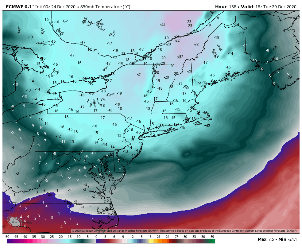
The next concerning time frame is around New Years, with signs that another strong coastal system develops. At this point teleconnections say that we should be cold, but models continue to bring warmth and rain back in.