Not much changes or updates in the forecast today. We are cooling down as expected, which not much more information on the Wednesday system – still looking like it will be a Mid-Atlantic storm as opposed to a New England storm. The piece of energy responsible for it is coming onshore as we speak, so we should received some better information on it during the evening balloon launches tonight.
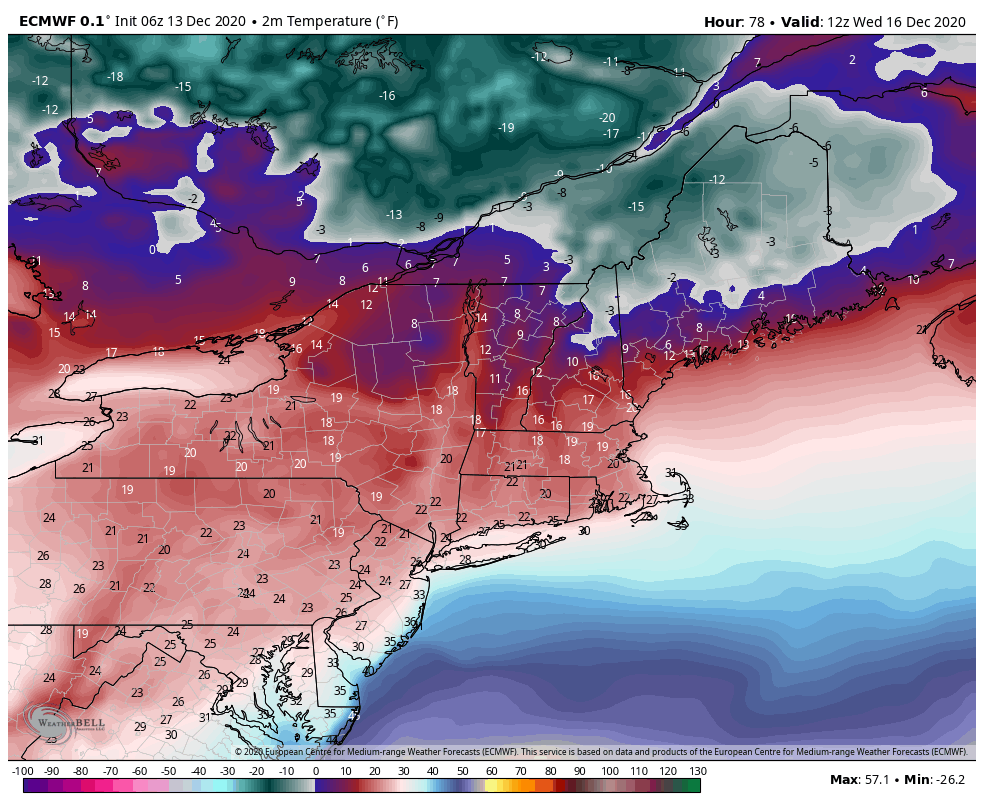
Temperatures continue to come down today gradually, steady off into Monday, and crash Monday night into Wednesday. It’s the first forecast with negative numbers for summits, and we may even see that extend down to base areas in northern VT, NH & Maine.
We stay cool through the rest of the week, before some moderation comes in next weekend.