We are officially halfway through the month of October, and there’s two main points in the long-term forecast —
*There’s no substantial cold on the horizon
*There’s no substantial rain on the horizon
Fall remains in full control as we head through the second half of the month. While rain chances will be quicker than once every 2 weeks, we’ll continue to remain below average and possibly see the drought worsen before getting into winter.
Our next chance of significant precipitation comes next week, where a one-two punch of storms may keep the early part of the week rainy.
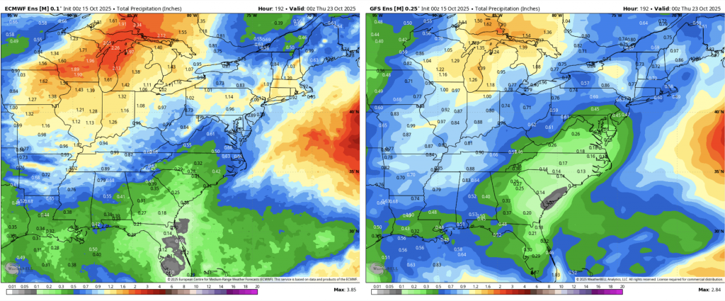
This is the GFS/Euro ensemble of precipitation in the next week. It’s not nothing, but it’s not going to get us out of the current situation.
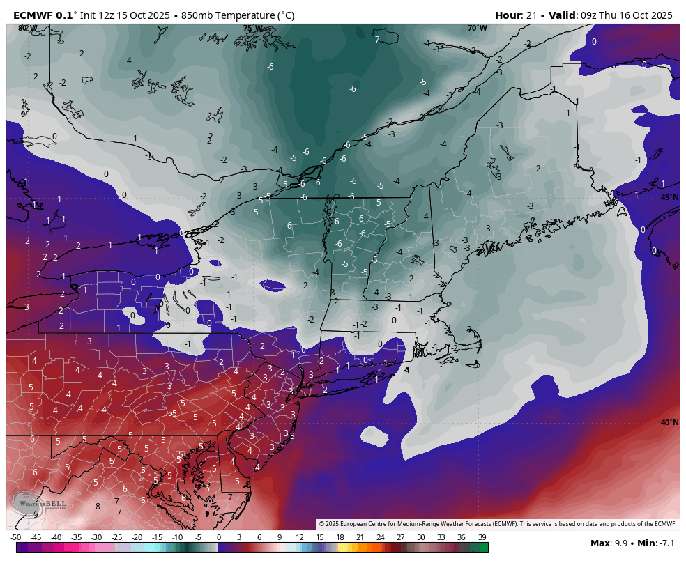
As far as the cold, there’s not much more than sporadic rounds of cold for now, one of those drops being tonight. Below is the Euro forecast for 850mb temperatures tonight. It is fairly short-lived, however.
In many of our summer meetings, we spoke about a similar onset to the season as last year, which was slow through about mid-November. It looks like we are indeed following that course, as I don’t see anything significant through the end of the month — for now. The tropics are still active, so this is no surprise.