The cold has been dominant over the eastern seaboard for a while now, and there’s not much change in the trajectory. We have a brief reprieve this weekend, featuring calmer wind and slightly warmer temperatures. We’ll have some light snow on Saturday but sunshine returns (for some) on Sunday.
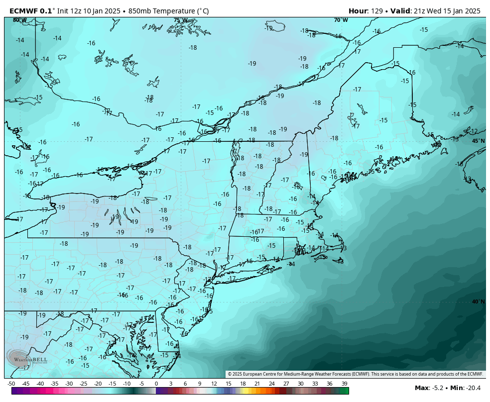
Clouds return on Monday with another crash of cold, wind and snow showers Tuesday. The cold settles in deepest on Wednesday (image shows Euro 850mb temperatures Wednesday afternoon). Wind shouldn’t be as high as this past event, but will be elevated for a couple days.
Once we get into MLK weekend, the cold eases and we have two storm signals around 1/19 and 1/22. While some deterministic models are bringing in mixed precipitation or even rain, the ensembles keep quite a bit of cold around. We still have over a week to go, and therefore more details to flush out. Even with the remote possibility of the dreaded “R” word, cold air resettles back in for the last week of the month. There’s a fair amount of consensus in the long range that February will turn warmer.