The rollercoaster ride continues into the second week of March, but overall we are colder.
Windy conditions persist into Tuesday, with gusty NW winds continuing in most areas and upslope snows coming to an end in the favored slopes. Those with the upslope topography are nearing or surpassing two feet of new snow from the two events. Though the wind continues, the sun pops out which will allow for a slightly warmer day.
The midweek is fairly quiet. A warm front crosses through Wednesday night, possibly with some drizzle/freezing drizzle, and bringing up temperatures for Thursday. By Friday, the clouds move in, hampering any significant warming before our next system.
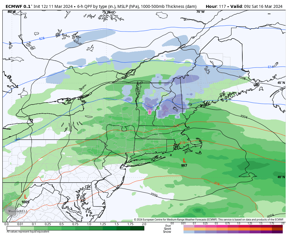
We’ll be watching a low pressure come in with an attending cold front Friday into Saturday. It does not look overwhelmingly cold but the timing is on our side, as it should be arriving overnight into early Saturday. Therefore elevation may allow for some rain to snow changes, as seen in the Euro depiction. However, it’s fairly weak and quick-moving, therefore accumulation would be limited to an inch or two max…should we get that changeover.
Behind this system we cool down again heading into week 3 of March. This also looks to be trending colder than the first two weeks of the month.