The week ahead brings quite a bit of cold air to the region and an active pattern.
Our Tuesday storm system has been one of most poorly forecast coastal storms of the season — we’ve seen plenty of storms start south and shift north, but they actually come to fruition in that space (and typically better than expected). This particular system has shifted some 200 miles south and become more progressive only 24-48 hours ahead of the event. This means the models are likely not handling the current pattern well, so we’ll be on our toes for the next week or so. Nonetheless, the highest amounts from Tuesday’s system will likely be in the Poconos, southern Hudson Valley, coastal CT and Long Island.
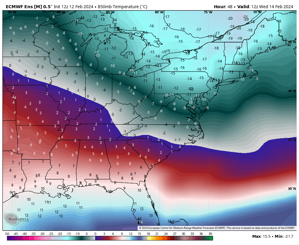
One thing that didn’t change…cold air rushes in behind the storm system and leads us to a very windy Wednesday out of the northwest, and our coldest day of the week.
A quick clipper system moves through the Great Lakes on Thursday and heads to the Northeast Thursday night into Friday with light snow expected.
A secondary system follows for later Saturday which has the potential to develop a coastal system…it’s unclear whether the energies phase, but overall the active pattern is certainly back. Another round of cold looks to arrive behind it…