After torrential rains and high wind depart the region, we’ll have a quiet remainder of the week. While the Northeast will hold onto some cold this week, the Great Lakes region ends up on the warmer end of the weather pattern until closer to New Years.
In the Northeast, temperatures continue their crash through Tuesday. There will be some ups and downs to the cold this week.
Tuesday is cold, but we’ll start seeing some moderation into Tuesday night and Wednesday. It’s not significant, but Wednesday will be a touch warmer. We’ll cool down again Wednesday night and Thursday. We begin moderating again on Friday.
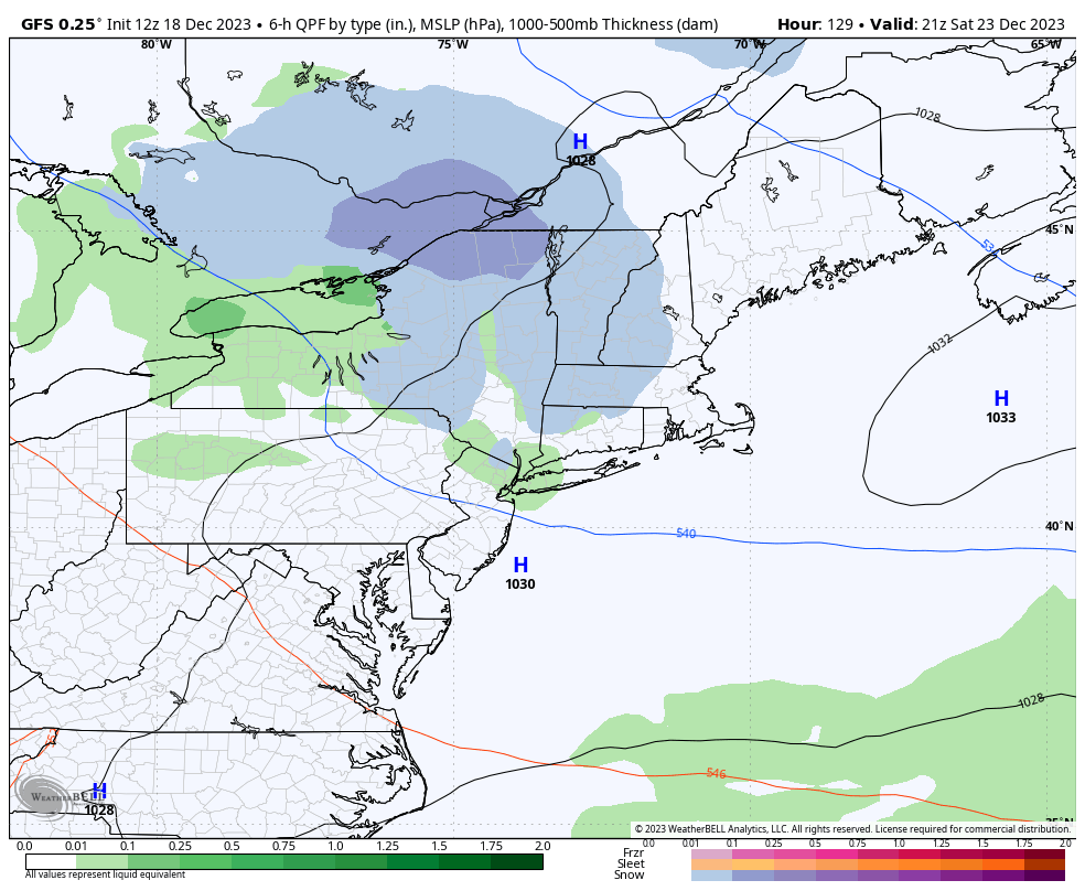
There’s a little white Christmas hope, or for any Seinfeld fans out there, a Festivus miracle, for some light snow to move through with a weak piece of energy Saturday. This would at least put down a picturesque coating of snow going into the holiday. The GFS has been on it for a while (image posted), but the other models, not so much.
The next timeframe we are watching is Dec 27-29 for a storm. It’s about when the arctic air should begin moving in, so we could see a transitioning storm (rain to snow) or a one-two punch system — warm one followed by a cold one. It’s a little too early to tell, but there’s been some indications of a strong low developing in that time frame.