This is going to be a bit abbreviated given the volatile storm we’ve been tracking for Sunday night into Monday. It’s changed quite a bit from midweek, to say the least.
There’s a lot of transitions and high impact to this system from heavy rain, to wind and then heavy snow — if you have any specific questions or want to chat it over more, please reach out!
For the long term…I don’t think we’re going to see this “cut and dry” warmer transitionary period I thought we would from Dec 7-17. We had quite a cool midweek this week after a snow event to start. We’re going to have another event linger into Monday next week that will bring some significant snowfall from the Catskills to the western side of the Presidentials, before we go back into a cooler spell. Therefore what I thought would be an overall transitionary period is seemingly just bouts of warmth, which come with storms, and perhaps more of a core of “warmth” from Dec 15-19.
There’s also a clear warm bias in these storms…and another one looks to be on the horizon for next weekend.
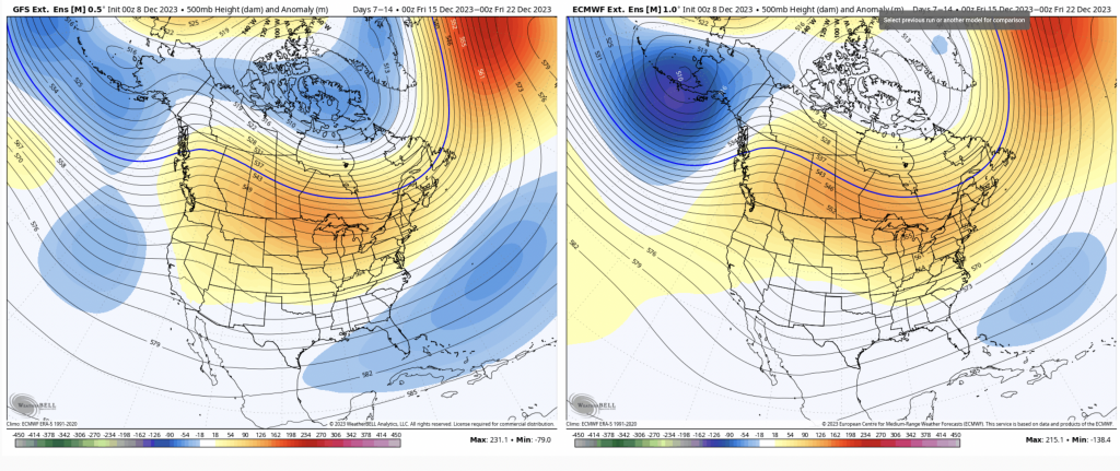
There’s a slight difference between the Euro and GFS but not a huge one in Days 7-14, just how fast we kick off the SE trough. This is definitely going to be the “warmest” period in our long term.
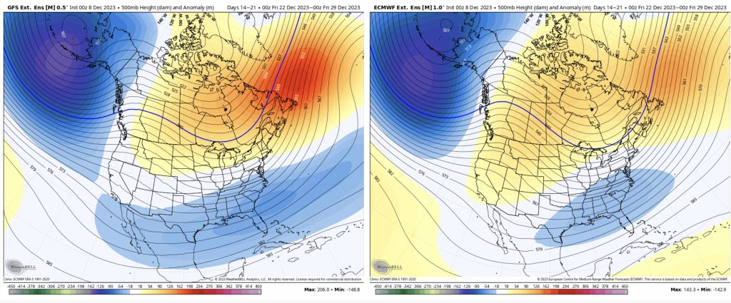
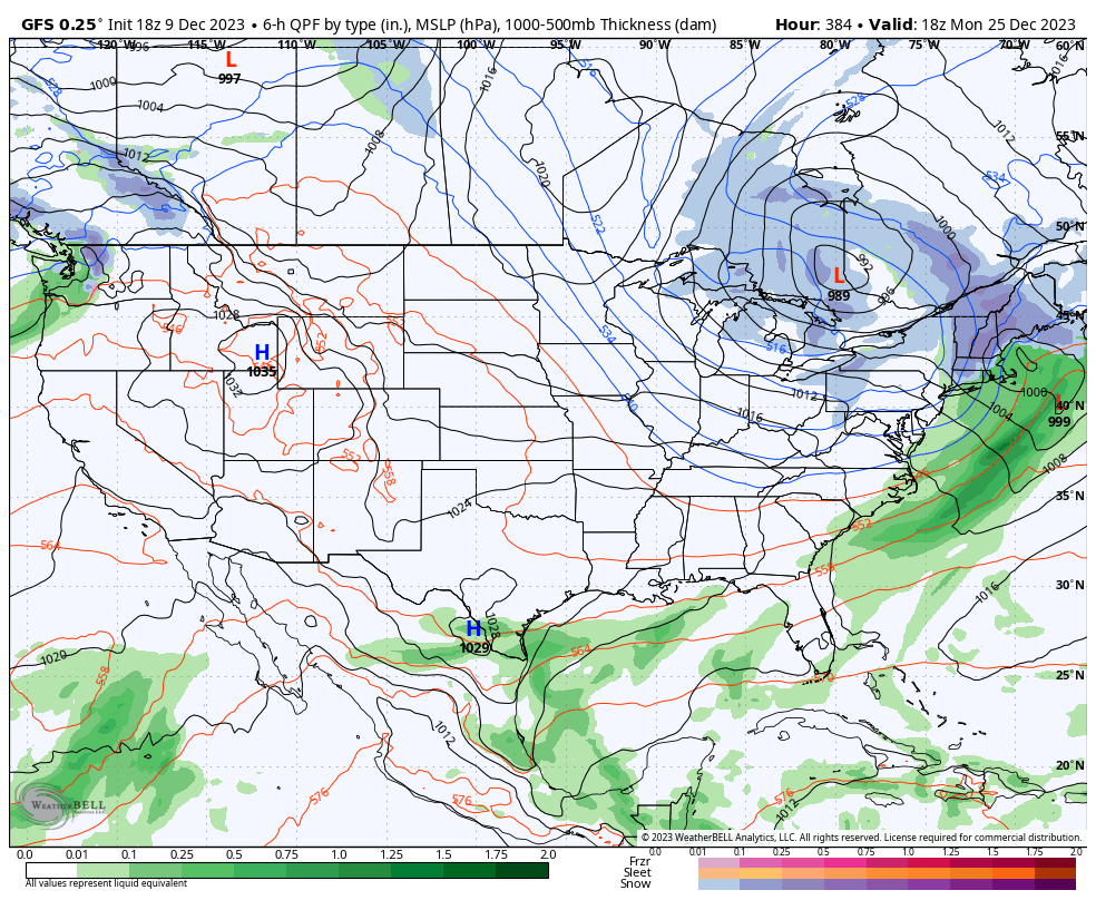
The GFS has been better with the cold this season and it looks to be bringing it back more deeply for Christmas week. We’ve been pegging this as the transition time for more consistent cold for a while, and this is the week it starts to settle in. Actually, it’s right near Christmas (Christmas Day is below) — and this is a pretty decent storm signal for the east.
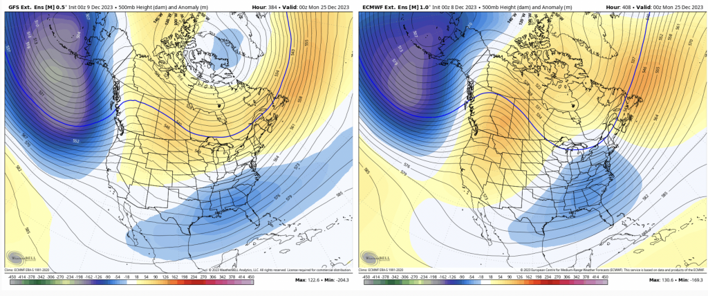
And even though I’d never put money or really much confidence on a 384 hour GFS forecast, it’s not surprising it looks like this. Especially with the Sunday/Monday storm pattern we’ve been in.
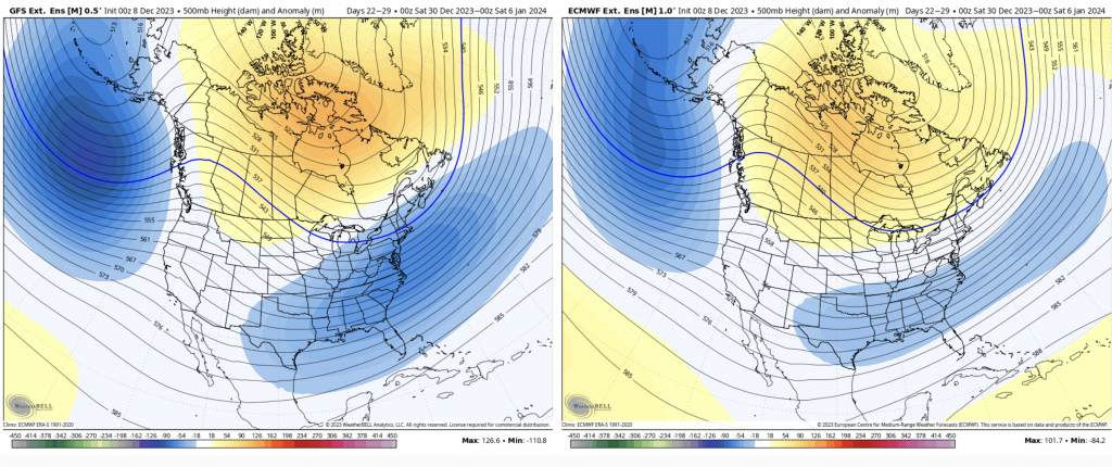
And then the cold really starts to come in… Day 21-28 as we feel the effects of the December stratospheric warming event.
Well, I guess this wasn’t so abbreviated….be safe out there Sunday/Monday!