We’re approaching mid-October and there’s been some interesting developments through the last couple of months.
Many of us were able to chat about the winter ahead in our summer meetings, but some of those were over 2 months ago, so I wanted to create a quick blog about the winter outlook.
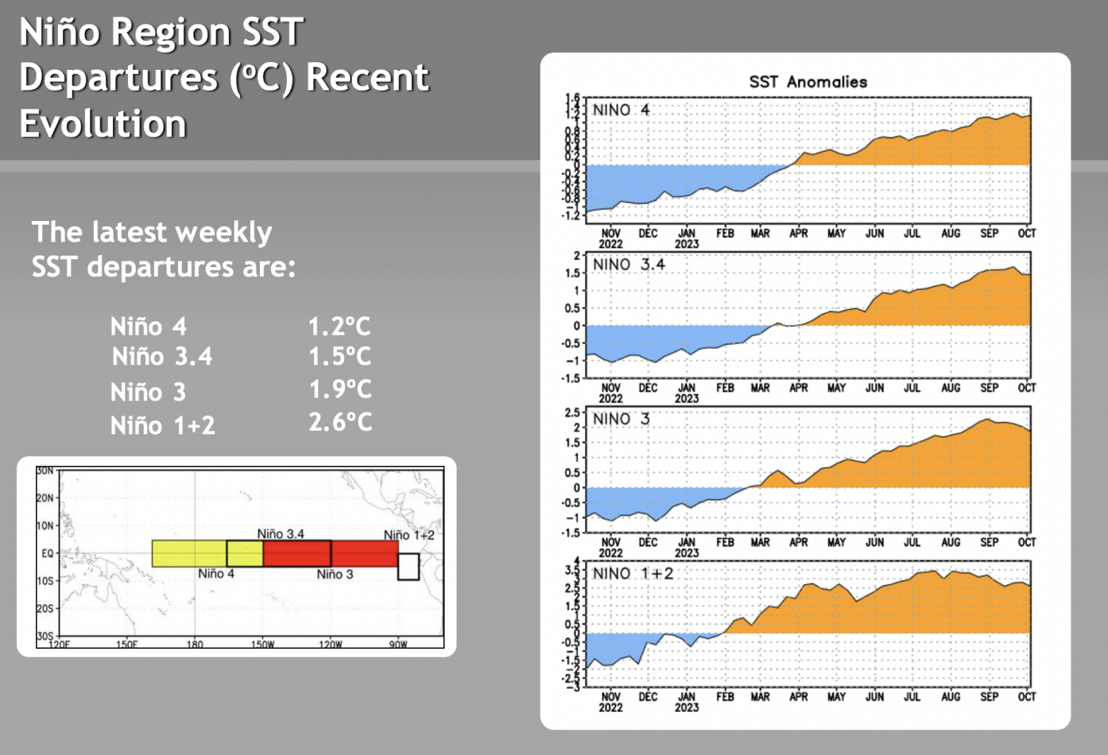
We’ve had a bizarre summer, to say the least. A lot of that, I believe, stems from the quick movement out of La Niña and into El Niño from the late winter into the late spring time frame. There’s been quite a discrepancy between where we are “oceanically” (how the ENSO cycle is typically determined through sea surface temperatures -SST’s ) and where we are atmospherically. There’s an index, the MEI index, that takes into account how the atmosphere is responding to the SST rise in the equatorial Pacific. It has lagged significantly behind the ONI index (Oceanic Niño Index) since the summer. It seemed to be such a quick movement from a prominent La Niña to a prominent El Niño that it almost seized up the atmosphere.
Lack of movement of systems provided some areas of the country weeks and even months of drought, where the Northeast could barely get a day of sunshine in for a solid 2 months and dealt with catastrophic flooding. The jet stream was less-than-apparent, as I witnessed personally faster east to west transatlantic flights in early summer, and had a family member see the same outcome on a flight from New York to Honolulu in late summer.
Now the ONI is a 3 month average, whereas the MEI is a 2 month average, therefore there are bound to be some differences. However the MEI only indicated a weak El Niño as of the August/September readings, when the ONI was there in the April/May/June readings. The true question is whether or not the MEI catches up with ONI before increasing SST’s level off and come back down, which it looks to have started to do now. ONI readings are bordering on strong El Niño status, which is not a great place to be in for the entire winter.

There are a lot of analogs and visible similarities to the 2009/2010 winter. This was a big snow year for Mid-Atlantic areas, with the December 2009 & “Snowmaggedon” blizzards bringing some of the snowiest seasons on record. The MEI for that winter hovered between 0.8-1.3, which is a weak to moderate El Niño, with December-February values staying 1-1.3. The ONI around that time (roughly) was 1.2-1.6. Therefore having that lag in the MEI can be fruitful.
Other analogs have pointed to at least a snowy start to the winter in the Mid-Atlantic, such as one correlating around a wetter-than-average May & June in the Southeast.
While the indications point to increased natural snow in the Mid-Atlantic, that would likely yield some snow in New England, or at least cold enough temperatures to make snow in both New England and the Great Lakes.