The week starts off with a dry atmosphere and a weak system coming through Monday night into Tuesday morning in the east. Temperatures moved up quite a bit ahead of the system so may see some rain mix in initially.
Any snow that does accumulate, which will only be on the order of 1-2″ at the max, will likely hang on as colder air comes in behind the system, along with a stronger cold front Wednesday night/ Thursday morning. Snow showers and squalls may accompany this. We are much colder behind this, but it’s only temporary.
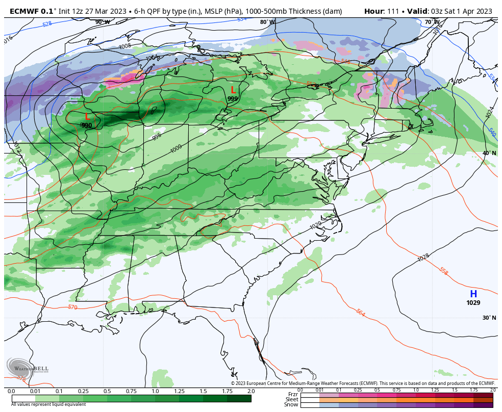
Largest system of the week approaches the Great Lakes late Thursday and the Northeast on Friday. Some mixed precipitation is possible for the onset as cold air damming may linger from the previous cold air intrusion. Eventually, rain takes over for much of Saturday (which may be significant) and a subsequent crash in temperatures for Sunday. Pattern remains active and though temperatures remain seasonably cool…averages are climbing this point in the year so below average may still be warm.