Some interesting little movements in the weather pattern this week, but overall we begin warming toward the holiday weekend. There’s a front that comes through Tuesday morning, which allows us to warm up slightly ahead of it (most of which we’ll see overnight Monday night). Another weak front comes through Wednesday, which gives another quick punch of cool air, but doesn’t supply any major cold air for snowmaking.
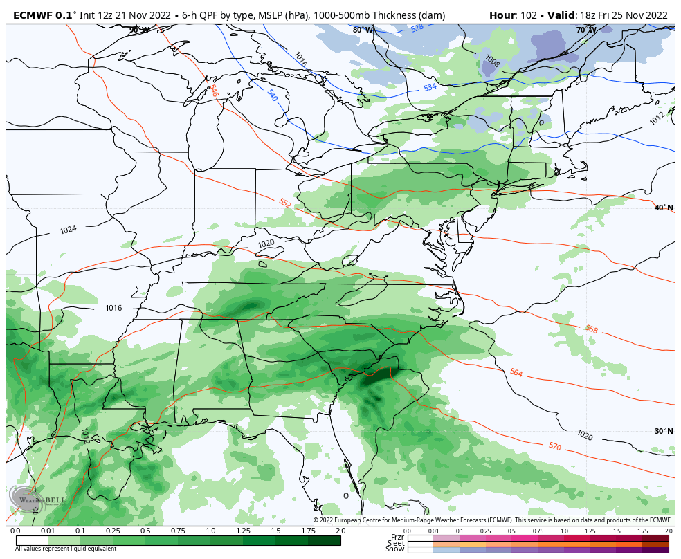
The main feature of this week has been the possibility of a stronger coastal system on Friday night. However, the timing of the cold front and the southern stream energy have become disjointed, therefore we won’t see any phasing between the two. The cold front comes through by itself with only some rain/snow showers Friday night and Saturday, and the larger mass of rain stays to the south, for now.
However, we have another piece of energy from the north surging down Sunday afternoon while the energy from the southern stream pushes north. Depending on the timing of this, which is still to be determined, we may have another chance for a storm Sunday evening into Monday. Right now, it looks on the warm side, but that’s due to the slower speed of the cold front currently projected by the models. Should that cold front speed up slightly, the storm would trend colder.