We’re finally seeing the light at the end of the tunnel – some sustained cold arrives Sunday after a strong cold front kicks out the remnants of Tropical Storm Nicole. By the time Nicole gets to the Northeast, it will be a subtropical storm with heavy rain and an expanding wind field.
The timing of the cold is vacillating slightly as the interaction between the cold front and the tropical system remains slightly unclear. It will take through most of the day Sunday to get the cold down to base levels (quicker in upper levels), but the cold core of this air mass will eventually take over into the early hours of Monday morning.
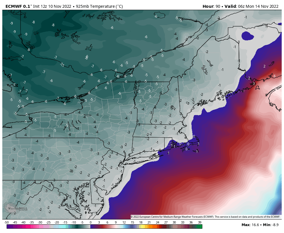
The image is of the European output of 925mb temperatures, which is roughly 2200-2500feet at 1am Monday morning. The European is slower, by about 3 hours, than the GFS. The discrepancy is due to some differences in the interaction between the front and Tropical Storm Nicole.
We’ll keep the cold entrenched for Tuesday but may start to see it retreat slightly into Wednesday as the activity of the pattern picks up. Several coastal storms are being picked up by models – tracks of those will determine how much cold retreats and if we see some natural snow.