This week features some of the first lake effect snow bands in the Great Lakes, another round of rain in the Northeast (though not as heavy as last week), and a brief cool down. The depth and strength of the cold doesn’t quite make it in to the Northeast as compared to the Great Lakes, which is similar to many instances last winter. This could be indicative of the moderate La Niña pattern of last winter still controlling the cold waves and their locations.
A small side tangent on the ENSO cycle….
At latest look, the Niño 3.4 region, which is the region used for the ONI (Oceanic Niño Index), remained at -0.8 this week. While technically that is a weak La Niña, it may take longer for the global patterns to respond since there’s been such a gradual, slow drop in sea surface temperatures. The Climate Prediction Center has February – April 2023 outlooked as a 54% chance of ENSO neutral, therefore, La Niña should be weakening over the coming months.
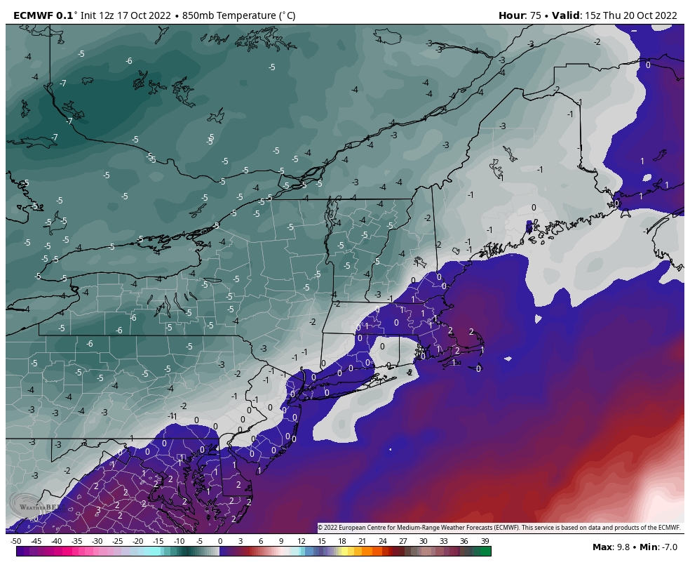
Coming back to the week ahead, the coolest time frame looks to be Thursday, with some 850mb readings coming at -5C for parts of New England, especially western parts. However, the deepest cold remains over the Great Lakes and southwestern parts of the Northeast.
The cold is fleeting as we head into the weekend. We’ll become seasonably warm, which seems to be the way we’ll finish the month based on the long term trends we’ve been chatting about.