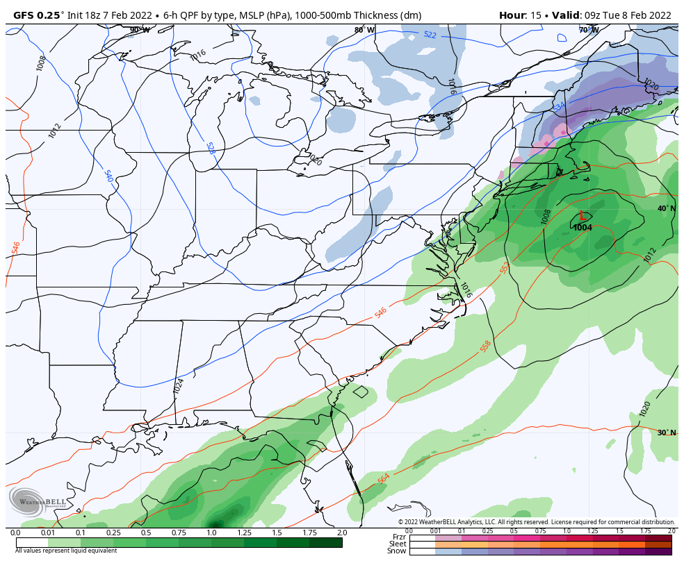
Monday started off rather cool and cloudy, as a weak coastal system moves up the coast. Steadier precipitation comes into New England later on in the evening and overnight. The models were fairly undecided about this but had a clearer vision on Sunday with some impact – inland areas of NH & ME may receive 3-6″ of wetter snow from this, with some mixing possible in southern NH & interior MA.
Heading into the midweek we’ll be seeing temperatures stay on the more mild side ahead of a cold front/attending low, which moves through the Great Lakes Wednesday and the Northeast Thursday. The front comes through with rain/snow showers and a relative drop in temperatures.
A secondary low and attending front comes through Friday for the Great Lakes, Saturday for the Northeast, with a larger drop in temperatures for Sunday and early next week. Models are toying with the idea of a Valentine’s Day storm, but seems to be a no-go for now.