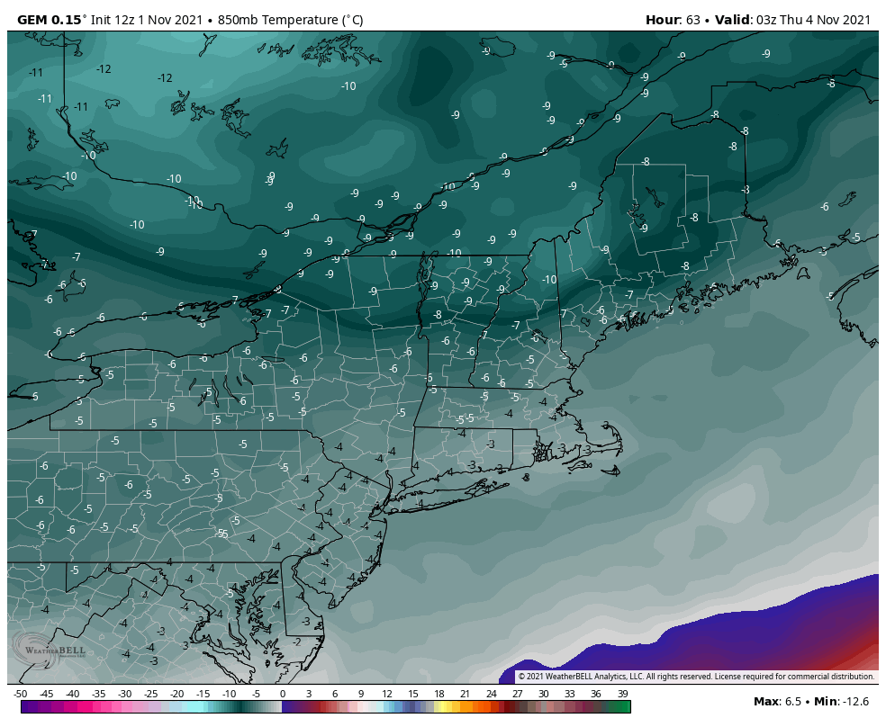
A cold front crossed the region early this morning, prompting a slow and gradual cool down during the day and continues into the overnight. The secondary front, which is bringing our first truly cold air mass, arrives on Wednesday. The core of the cold settles in for Wednesday night, which will be our coldest night yet for the season. Isolated rain and snow showers are possible Tuesday and Wednesday (more on Wednesday), with a cold daytime expected on Thursday.
I’ll cover the cold and its movement more in depth on Tuesday with a video, but overall, it’s not going to last as long as we want for early season cold. We have a coastal system that moves up the eastern seaboard early Saturday, and the cold fully retreats later Friday through Saturday.
By the weekend, we’re back to more temperate conditions, though they may still be relatively cool for this point in the year (but just a touch too warm for snowmaking in New England). The coastal system stays mostly offshore, and therefore precipitation will be at a minimum this week too.