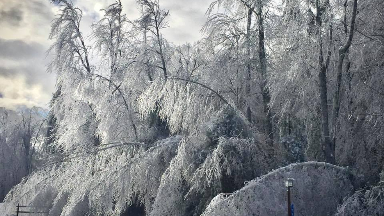
I should probably preface this blog with the fact I’m not forecasting an ice storm – yes there are some models throwing out snow next week but we’ll save that for tomorrow’s discussion!
Yesterday, I attended a (virtual) winter weather workshop with the National Weather Service in Gray, ME for their annual meteorologist gathering ahead of the fun season. While we covered some really interesting, in depth nerdy weather topics, one that struck interest in me to share with you is the topic of ice forecasting and the headlines that revolve around it.

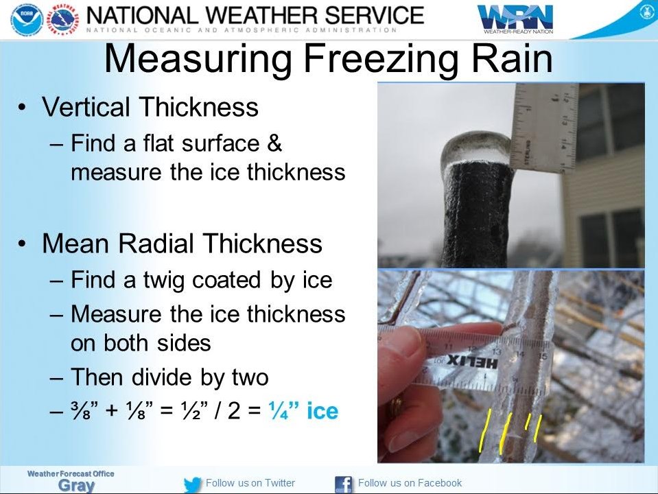
Until recently, NWS forecast offices in the “ice belt” did not have a standard measurement for Ice Storm Warnings; not in terms of the physical amount but rather if it was radial ice accretion or flat surface. NOAA finally released a statement that Ice Storm Warning criteria is based on elevated flat surface ice accretion. It’s not surprising they came to this conclusion, as ASOS and other weather stations have flat ice sensors, and therefore it’s easier to verify. In addition, there’s an easy ratio to adjust from flat ice accretion to radial.
Total accretion criteria for an Ice Storm Warning changes based on location, as the overarching reason for issuing such a statement is not only for utility and tree concerns, but also travel concerns and the ability to clear ice. As we saw last year with the cold, ice and snow in Texas, the response differs quite a bit from same amount of wintry precipitation in the south versus the north. From Route 80 in PA/NJ northward, Ice Storm Warning criteria is .50″ or more. South of Route 80, it’s 1/4″ or more.
Given this new information from NOAA, when an Ice Storm Warning is issued for… let’s say Massachusetts, for .50″ of ice accumulated on a flat elevated surface, that only averages out to ~.20″ of radial ice accretion. Concerning for travel, your lifts and guest safety, but at this point not a major concern for utilities or trees coming down.
In conversations with various mountain operations teams, radial ice accretion forecasts appear to be the preference through Snowmaker. Therefore I wanted to write this blog not only to share the intel learned at this workshop, but to specify that when forecasting ice from this season forward, I’m referencing radial ice accretion. This will be conflicting with what you may read on NOAA websites, hear on TV broadcasts, etc. because they will be focused on elevated flat accretion, unless otherwise stated.
If you have any questions or concerns on this topic, please feel free to reach out, and let’s hope for a season without Ice Storm Warnings!
