We’ve been eyeing the change of the calendar as the shifting point from fall-like weather to cooler, more favorable weather. The past few weeks have been fairly cyclical with two cold fronts a week, some sporadic rain and showers, but we’re seeing that come to an end this week with likely the season changing systems come through.
Not one but two low pressure systems will move up the coast (some isolated snow possible on high summits Monday, but aside from that, it’s all rain) with some gusty wind to strip the trees and bring down any loose branches. Gusts greater than 50 mph are possible on summits in both systems, which are slated to come through Monday – Thursday (high wind Tuesday-Wednesday), and Saturday-Sunday of next weekend. We’ll focus more on those in Monday’s blog and through the week.
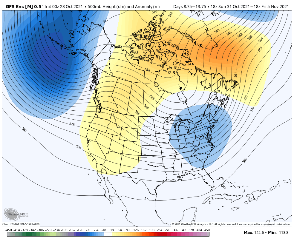
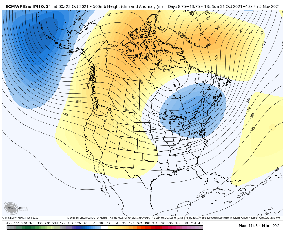
Beyond these two non-tropical, large low pressure systems (that in 2 months from now would likely yield monster nor’easters), we should begin settling into a more favorable cold pattern to allow for some more frequent and longer snowmaking windows. There’s quite good agreement on the first week of November, but we may still see some ups/downs in the month of November before a more stable, cool pattern settles.