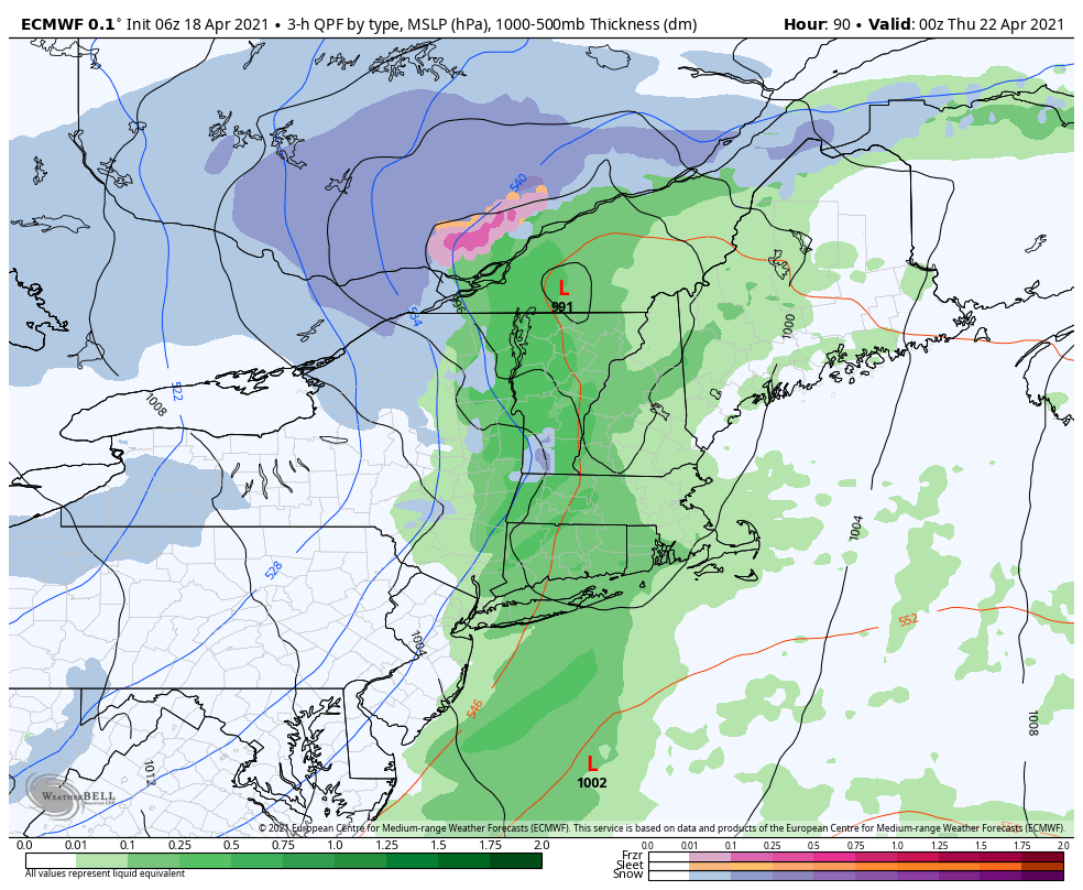
We have a busy week ahead with weather systems – that will bring a wide variety of temperatures to the area. Temperatures warm into the midweek before a cold front comes through Wednesday. We’ll have a low pressure move along the front, which brings rain to the area, though we may see some snow on the backside.
Cold settles in for the end of the week before another low pressure system arrives over the weekend. There are some timing discrepancies right now but it looks to be a warm system.
This will be the final blog of the season. We’ll start up again as the cold shots return in the fall. It was certainly an interesting year and Mother Nature was a little difficult at times. Here’s to a snowy 2021-2022! I’ll be in touch regarding summer client meetings in a couple weeks.