It’s the last warm day before our cold front comes through tonight into Friday morning. There will be a few punches of the cold – we’ll have an initial one but still warm up Friday afternoon a couple degrees, followed by a stronger punch Friday night into Saturday morning. We somewhat moderate into Sunday before another punch of colder air comes down early Monday. Our coldest time period will likely be Monday morning into Tuesday morning.
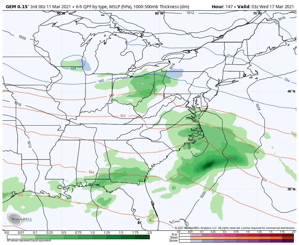
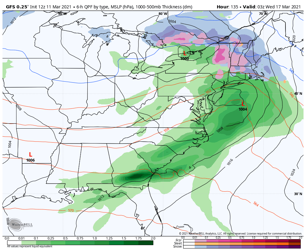
This is where the pattern gets interesting. We have a few impulses of energy to watch – the strength of the cold air mass will dictate if we receive snow, rain or both and everything in between. The models have not had a good handle on this and we’ve seen everything from massive rain events, to nothing, to full-tilt nor’easters.
The season’s model bias says that the cold will be strong – potentially too strong as we’ve seen numerous good-looking storms get shunted to the south, or be unable to amplify due to strong blocking. Here’s a look at the model spread.