We’re looking at a fairly quiet week precipitation-wise, but the warmth is coming in, especially by the middle and end of the week. For most, these are our highest temperatures since Christmas.
The “breaker” of the warmth is going to be a front that sags south on Friday, which will end up being our transition day out of the warmth. The farther south you are, the longer you’ll wait for the front, and it does eventually stall a bit.
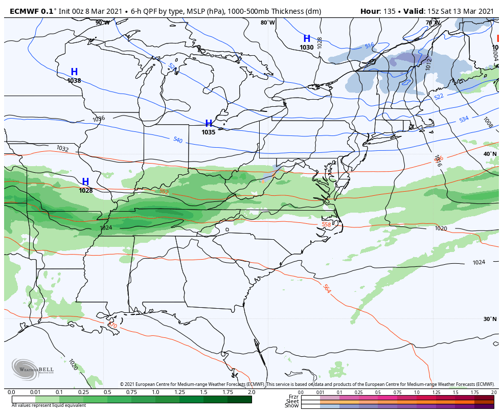
By Saturday afternoon, the cold air stops retreating south. We’ll see a brief moderation in temperature next Monday ahead of an incoming system. This is where the depth of the cold air mass is key to see if we can keep frozen precipitation. The model ensembles are colder than the deterministic runs, so we’ll see how those continue to trend through this week.