The pattern returns to a very dry solution with the cold arctic high shunting everything to the south of us. Aside from snow showers on the favored slopes in Vermont, New York and New Hampshire, precipitation will be at a minimum until the middle of next week. Wind is going to be the biggest player in the weather game for the next several days as we have reinforcing shots of colder air coming in. Friday night to Saturday night will likely be the coldest time frame in the Northeast before we begin our moderation.
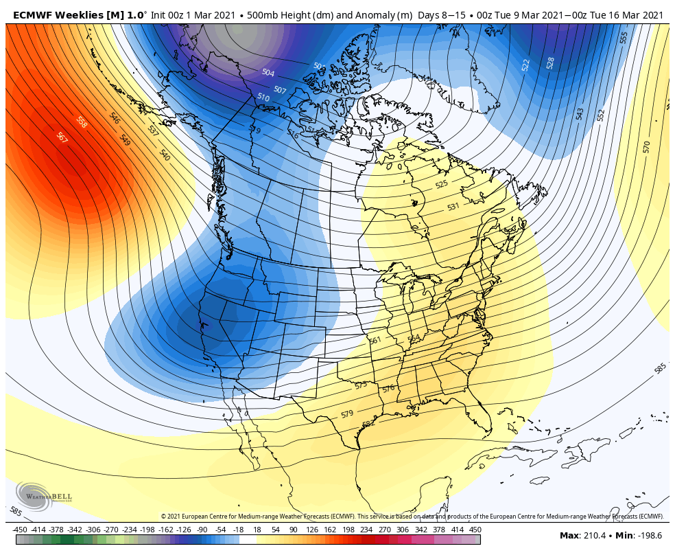
As we’ve been pointing out, the second week of March would allow for some moderation, or false spring #2. Temperatures boost into the 40’s for New England & the Great Lakes, and 50’s – 60’s for the Mid-Atlantic.
The ridge is at its peak around the 12/13th, before it looks like winter should return for at least the third week of March. We’ll touch more on that in the long term views on Friday.