The weather pattern continues on this uneventful path for the next couple of days. We’re starting to introduce some drier air Thursday and especially Friday, therefore expect some erratic temperature movements, in addition to base/summit temperatures not having the usual spread. We’ll stay in this zone until Saturday, when we’ll finally be influenced by something other than the prevailing north wind from the departing system in the far Atlantic – but rather the return circulation from a low that will miss us to the south on 1/9. Not much change in wind direction, though we’ll have a minor shakeup in the composition of the air mass.
With the North Atlantic Oscillation becoming less negative over the next couple of days, we’ll get some action back into the pattern. However, it won’t feel like much action because energies continue to round the base of the trough and move offshore. We’ll see some colder air infiltrate this weekend and early next week before we watch a potential system on 1/12-1/13. Models aren’t extraordinarily excited about bringing the low up the coast, but more so bringing it through the Mid-Atlantic and offshore, which could be a sign that the NAO isn’t letting up enough, or the models aren’t capturing just how much the negative NAO reduces. We’ll have to wait a bit longer when we have some information on the incoming energy.
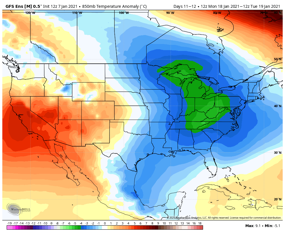
Beyond that system, the activity picks up significantly into MLK weekend. Not only are we watching a barrage of lows swinging into the Great Lakes & Northeast, but the polar vortex is expected to pay a visit around the end of the weekend into the following week. This means a flip in the pattern may come shortly thereafter for the final week of January.