Today we’re watching a weak impulse of energy coming in with some light snow showers through the day and into Thursday morning. We’ll see a widespread 1-3″ from New York and north with this, with isolated higher amounts where we see some enhancement from terrain. Temperatures will move up with this, as opposed to the snow we saw yesterday. Expect widespread 20’s from top to bottom.
The warming is a bit more full throttle heading into Friday, but overall we’re still looking slightly cooler through the “warm up” and system this weekend. We’ll see an eventual flip to rain, but temperatures should be held back from boosting too high Saturday into Sunday. Icing is possible Sunday morning for northern New England resorts. The timing of the cold front coming through Sunday evening is also shifting – we may have to wait through the day on Monday to get temperatures fully back down to snowmaking levels. We’ll even see these extend south and west from New England for some overnight opportunities.
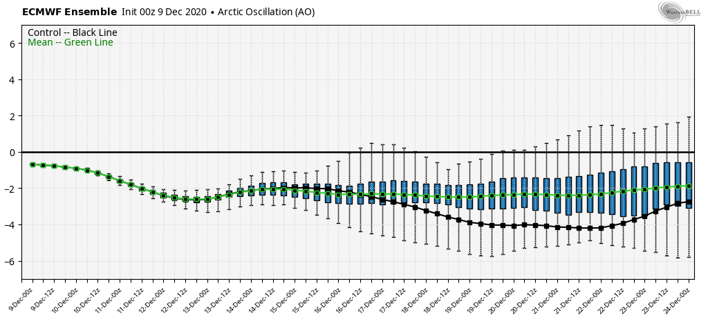
An interesting tidbit I’ll leave you with today is the European Ensemble outlook for the Arctic Oscillation (the beholder of the Polar Vortex). For a model that hates to see long-term cold, this is fairly promising heading into the holiday weeks.
