The large low pressure system continues to make its way into the Northeast this morning. Heavy rain and high wind can be expected with this system.
By Tuesday, we’ll start to see the warm retreat by late in the day, ever so slowly moving toward New England through the overnight hours into Wednesday morning. We’ll continue to see cooling throughout the day Wednesday as well.
The upper level low is “cut-off” at this point, and we’ll see unsettled weather through the end of the week. Mostly cloudy conditions, along with scattered rain and snow showers can be expected. Some of those snow showers may accumulate well in the higher terrain.
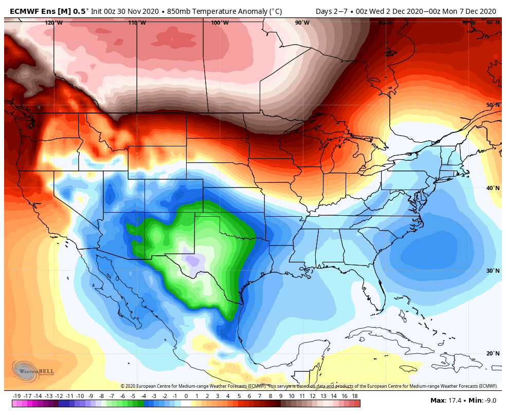
The latest guidance does show the cold holding on as we’ve been talking about. The warm air “nudge” that looked possible this weekend now looks far less defined. This is likely because models are keeping the storm system offshore, which proves to be a colder solution overall. I’m not eliminating the chance that a coastal low still impacts the area given the teleconnections… but also because it requires phasing to occur – and that is poorly forecast this far out. Typically we receive a better handle on phasing within 72 hours of the event.
The 500mb temperature anomaly shows the colder air settling in for the first week of December, which is good news on the snowmaking front for the Northeast.