Temperatures have been making their way up with some limited sunshine this morning ahead of our front. A few clouds and isolated showers ahead of the storm have kept some temperatures from moving quickly, but they will bounce up before the early afternoon.
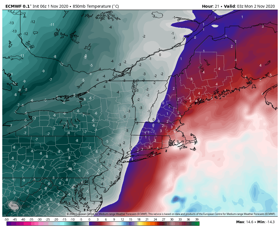
The front begins to plow through the region this evening and makes its way east through the overnight hours. High wind is expected Monday.
The cold has two punches to it, and will let up slightly Monday night before another quick hit of cold comes in Tuesday.
We also have some snow to come down as well in New England. With the low pressure moving along the eastern seaboard, we’ll change rain to snow as the front crosses, providing 1-3″ to summits, and maybe an inch to the base. On Tuesday, with that second punch of cold air, we’ll have an area of energy ride along the bottom of the trough, bringing some snow showers along with it. That will bring another 1-3″ across the area, before all snow and cold depart on Wednesday.