Our long awaited first round of sustained cold looks to arrive with a cold front on Friday. Delayed by the remnant low of what was Tropical Storm Olga, the trough digs into the west with record breaking cold early in the week.
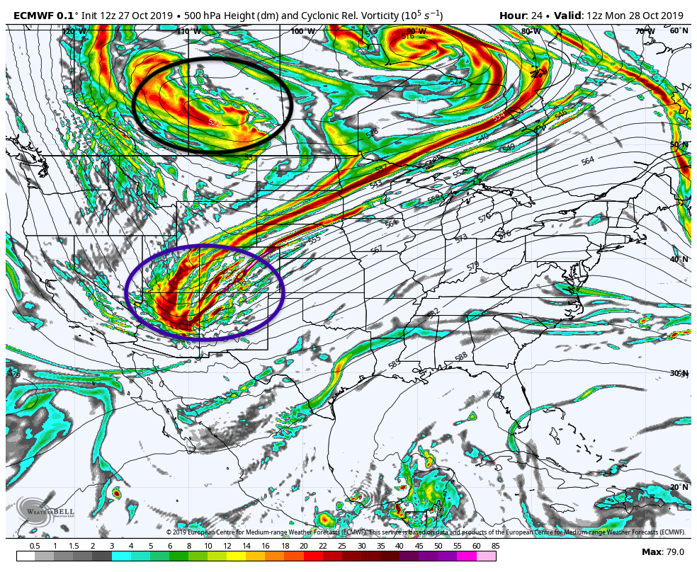
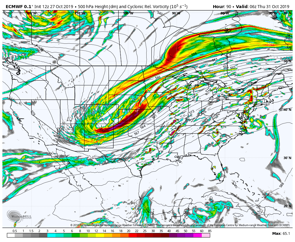
The first round of energy moves along the stalled front through the Midwest during the midweek, but it’s not until the second wave of energy moves through the trough early Thursday morning that the cold can finally eject out of the west.
The energy races across the central part of the country, bringing heavy snow to the Rockies for the second time this week. Snow spreads across the Plains as well, along with heavy rain for the Southeast, Mid-Atlantic, and Northeast. Behind the front, expect wind to pick up substantially and cooler air move into the mid levels by late Friday morning. Temperatures begin to fall below freezing at 850mb (~4,500 feet) just before noon time on Friday. Wind picks up out of the west-northwest behind the frontal passage and may gust over 60 mph. The cold deepens throughout the overnight hours, with the coldest temperatures expected by Saturday morning.
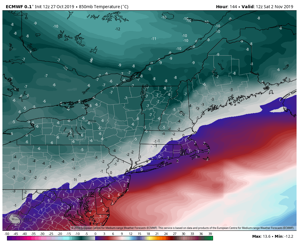
The cold eases on Tuesday, and we’ll have more seasonable temperatures into Wednesday as well. Signs are that another cold punch, likely stronger than this one, arrives late next week (11/8-11/10) and may provide a better opportunity for both resorts to see top to bottom snowmaking.
Impacts for Wildcat, Mount Snow: The depth of this cold is less than anticipated, especially with the level of cold brought to the Rockies. Aside from 3,000 feet and higher, there may not be a large window for Mount Snow in this cold punch. Potentially 10-14 hours of snowmaking conditions late Friday night into Saturday morning, however the winds will be howling. Mid-mountain likely won’t be cold enough by noon-time Saturday. Dropping humidity values may aid in some small windows Saturday and Sunday nights. Wildcat should be able to have a solid block of time through Saturday, especially close to the summit, and the summit should have favorable temperatures through most of the weekend and into Monday, with mid-mountain seeing some windows during the overnight.